What is recorded here
Lisgordan in County Limerick once held a fifty-metre earthen ringfort, now reduced to a scarce five-metre scarred edge on a SE-facing slope. The rest has been levelled into pasture, but that stubborn fragment still marks the circle's true line. It may have been a home, a boundary, or a claim of ownership written in soil. The land kept the shape long enough for the 1841 survey to record it before forgetting the rest.
In pasture, on break in SE-facing slope down to stream valley. Monument, depicted on 1841 OS 6-inch map as embanked circular enclosure (diam. c. 50m), has been levelled. However, short section of scarped edge (H 0.8m; Wth 5.4m) is still evident SE->S.
Compiled by: Denis Power
Date of upload: 26 August 2011
The monument record does not grant public access. Check the route and ask the landowner before entering private land.
- What survives
- Recorded monument
Places near here
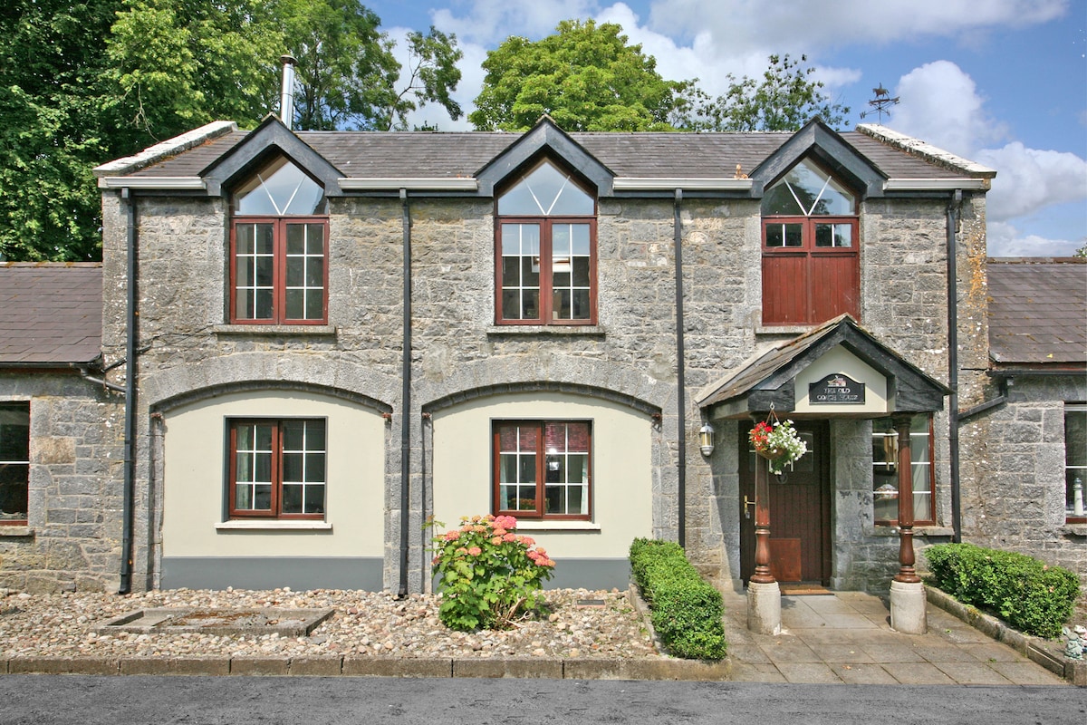 Enclosure in CahermoyleEnclosure · 840 yd
 KyleArchaeological place · 1035 yd
 Castle (in ruins)Castle, tower house · 1058 yd
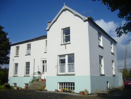 Rathronan Houserectory/glebe/vicarage/curate's house · 1216 yd
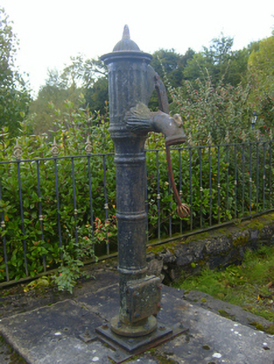 water pumpwater pump · 1358 yd
 CahermoyleCastle, unclassified · 1533 yd
 St. Luke's WellSpring · 1657 yd
 St. Kieran's WellSpring · 2.5 mi
 European ashEuropean ash · 5.0 mi
 Limerick GreenwayWalking route · 5.4 mi
 Sugar HillMountain / peak · 7.1 mi
 Monterey CypressMonterey Cypress · 7.1 mi