What is recorded here
Half a ring of grass and shadow marks Lisgool, where a field wall cut through ancient earth and a small hut still lies buried inside. The fort belongs to no visible king, yet its broken circle suggests people lived there before the land was divided into fields. What remains is enough to imagine: a threshold, a household, and the quiet continuity of life on a slight rise in County Leitrim.
On a slight rise in an undulating landscape. Grass and scrub-covered D-shaped area (dims 27m N-S; 23m E-W) defined by a scarp (H 2m), but truncated by an ENE-WSW field wall at S and the perimeter is incorporated into a field bank N-E. Half of a circular hut site (LE001-002002-) (int. diam. 4.3m; ext. diam. 6.5m) survives S of a silted field drain in the interior, and a rectangular house site (LE001-002003 ) (int. dims 6.4m NW-SE; 4.6m NE-SW; ext. dims 8.4m NW-SE; 7.2m NE-SW) lies c. 20m outside the perimeter at NW.
The above description is derived from 'The Archaeological Inventory of County Leitrim' compiled by Michael J. Moore (Dublin: Stationery Office, 2003). In certain instances the entries have been revised and updated in the light of recent research.
Date of upload: 23 September 2008
The monument record does not grant public access. Check the route and ask the landowner before entering private land.
- What survives
- Recorded monument
Places near here
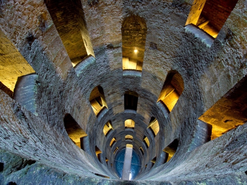 St. Patricks WellHoly well · 57 yd
 IndicatedHoly well · 312 yd
 Giant's GraveArchaeological place · 1.2 mi
 Saint Patrick's Catholic Churchchurch/chapel · 1.6 mi
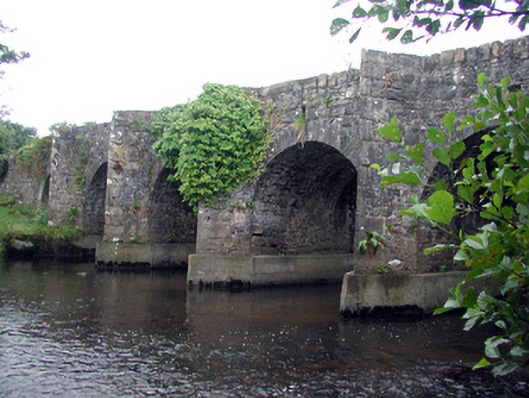 Mary's Bridgebridge · 1.7 mi
 Bawn in DuncarbryBawn · 1.9 mi
 Bundrowes Castle (Site of)Castle, unclassified · 2.3 mi
 Creevykeel Court TombNeolithic court tomb · 2.9 mi
 assassination of Louis Mountbatten, 1st Earl Mountbatten of Burmaassassination · 3.0 mi
 Unbaptised Children MonumentMemorial · 3.3 mi
 Classiebawn WoodsWood · 3.5 mi
 Wild Atlantic Way: Mullaghmore HeadVisitor information · 3.6 mi