
What is recorded here
Indicated is a ruined earthen ringfort on a low Mayo ridge, its southern bank built two metres high to force a level floor against the falling slope. The northern edge now blends into an old field fence, while the eastern gap still hints at the entrance where people once entered the small circular world. It vanished from later maps despite surviving in pasture, suggesting the ridge and its forgotten maker resisted final erasure longer than official memory preferred.
In pasture, located on a low E–W ridge, straddling the gentle S-facing slope. There is a stream/drain c. 100m to W.
This rath is shown on the 1838 OS 6-inch map but is not shown on the 1929 edition. It consists of a slightly raised, circular area (24m N–S; 22m E–S) defined by remnants of an earthen bank. The bank retains a low internal lip (int. H c. 0.25 at SW) in parts, but is largely reduced to a scarp. The scarp is most pronounced on the S side where it merges with the natural ridge slope (H 2.2m); the S half is effectively built up to compensate for the slope and to create a level interior. The entrance is likely to have been on the E half, where the enclosing slope is lowest; it may have been at SE where there is a low area/gap (Wth 3m).
At N–NE, remnants of an E-W linear field fence (Wth 1.5m; max. H 0.8m) truncates, or possibly incorporates, the rath bank, this has been levelled where it extended beyond the rath to W and E. A similar field fence, now levelled, appears to have skirted the S side of the rath. Heaps of field clearance debris lie to W of the rath. An E-W farm track lies close to the N side of the rath.
Compiled by: Jane O’Shaughnessy
Date of upload: 2 May 2019
The monument record does not grant public access. Check the route and ask the landowner before entering private land.
- What survives
- Recorded monument
Places near here
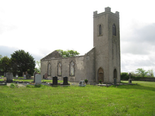 Ballysakeery Church (Ballysakeery)church/chapel · 602 yd
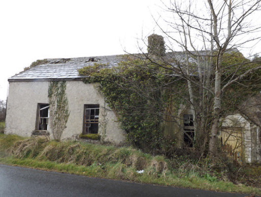 schoolschool · 639 yd
 TobernamoltHoly well · 897 yd
 TobernasoolHoly well · 1189 yd
 Bawn in FarraghBawn · 1265 yd
 Ballinteean CastleCastle · 1487 yd
 Battle of Killalabattle · 2.0 mi
 Green IslandIslet · 2.4 mi
 Battlefields of MoyneBattlefield · 2.4 mi
 Moyne AbbeyHeritage attraction · 2.7 mi
 Rinnaun PointHeadland · 3.0 mi
 Gortabradawn PointHeadland · 3.1 mi
Other information
Photo: Credit not shown in the picture search · Rights wording not checked; contact us if this picture should be removed