What is recorded here
Lisgarryalugh Hachured is a faded fairy fort in County Limerick, Ireland, where slight earth ridges still mark an ancient boundary beside Boherload. It appears on old maps as a circular or rectangular enclosure, but pasture and time have worn most of its shape into mystery. The name resists easy translation, suggesting a place kept alive more by memory than measurement.
In pasture, on a slight SSW-facing slope, immediately E of townland boundary with Boherload, enclosure (LI022-049----) lies 165m to NW. No surface remains visible, slight undulations visible in location of monument. Annotated ‘Lissgarryalugh’ on the all editions of the OS maps. Depicted as a circular shaped enclosure to S of a townland boundary on the 1840 OS 6-inch map. Indicated on the 1897 OS 25-inch map as a rectangular shaped area (approx. int. dims 34m N-S x 27m E-W) defined by a bank from NE to SE, with external fosse from NE through SE to SW and W to NW and scarp from SW to W and NW, intersected by a field boundary at N. Faint trace of W and E fosse of monument visible on Google Earth orthoimages taken 2010 and 2015 and on the OSi orthophotos taken 2005-2012.
See attached Google Earth orthoimages.
Compiled by: Fiona Rooney
Date of upload: 30 July 2020
The monument record does not grant public access. Check the route and ask the landowner before entering private land.
- What survives
- Recorded monument
Places near here
 Boherload Househouse · 477 yd
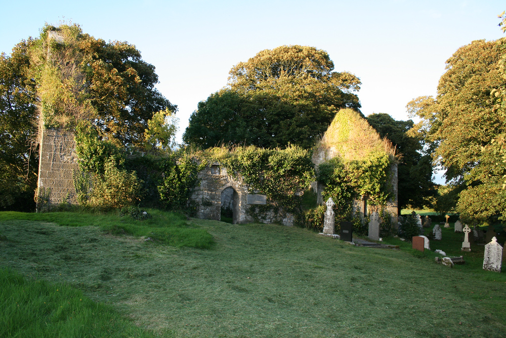 Enclosure in Boherload,carnaneEnclosure · 539 yd
 ToberauillinSpring · 539 yd
 Ballynagarde Ho.Castle, tower house · 1108 yd
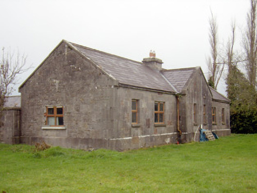 outbuilding, stablesoutbuilding, stables · 1165 yd
 Enclosure in Arywee,carnaneEnclosure · 1188 yd
 Bawn in Raheen (clanwilliam By., Roxborough Ed)Bawn · 1.0 mi
 Carnane RockNamed rock · 1.1 mi
 Skool HillMountain / peak · 2.1 mi
 Villiers WellSpring · 2.4 mi
 European ashEuropean ash · 4.8 mi
 Monasteranenagh AbbeyHeritage attraction · 5.6 mi