What is recorded here
Fairy fort in Liberties OF Carlingford: a 22 m earthen ring with a 3.5 m bank, outer ditches and a small drystone hut beside the outer bank. The middle is split by a shallow unknown groove, as if the circle were made for two lives or two kinds of keeping. No entrance remains visible, so the fort still withholds how it was entered.
The following description is derived from both the published 'Archaeological Inventory of County Louth' (Dublin: Stationery Office, 1986) and the 'Archaeological Survey of County Louth' (Dublin: Stationery Office, 1991). In certain instances the entries have been revised and updated in the light of recent research.
Date of upload/revision: 17 July 2007
Circular area (int. diam. 22m) enclosed by earth and stone bank (Wth 3.5m, H 1-1.5m) with external fosse (Wth 1.7m, D 0.3m) at W. Traces of outer bank (Wth 4.3m, H 0.9m) from SSE-S-W-NNW. Outer fosse (Wth 3.5m, D 0.6m) visible from SSW-W-NW. No visible ancient entrance. Circular hut site (LH008-016002-) (int. diam. 4.4m) abutting outer bank at NNW with lower courses of drystone masonry. The interior of the ringfort is divided into two almost equal parts by a shallow depression (Wth 1.5-2.8m, D 0.2m) of unknown significance.
The monument record does not grant public access. Check the route and ask the landowner before entering private land.
- What survives
- Recorded monument
Places near here
 Hut site in Commons (carlingford Par.)Hut site · 422 yd
 IndicatedFairy fort / earthen ringfort · 531 yd
 BarnavaveMountain / peak · 653 yd
 Priory (in Ruins)Religious house, Knights Templars · 686 yd
 Carlingford - Loop 1A- Commons LoopWalking route · 923 yd
 Saint Michael's Catholic Churchchurch/chapel · 1001 yd
 Carlingford Heritage CentreVisitor information · 1321 yd
 Graveyard in Liberties OF CarlingfordGraveyard · 1326 yd
 Town GateHeritage attraction · 1376 yd
 Carlingford Ogham StoneMemorial · 1421 yd
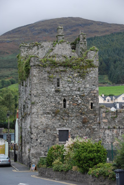 Taaffe's CastleCastle · 1458 yd
 CastleCastle, tower house · 1594 yd