
What is recorded here
Indicated is a vanished hilltop enclosure in County Mayo, drawn as a circular bank in 1838 but reduced to a truncated D-shape by 1916. It sits above a meandering river and Levally Lough, yet leaves no visible trace except a small quarry pit at its edge. The land may have swallowed the boundary, or people may have simply stopped remembering the shape of a place they once lived beside.
In pasture, located on the top of a hill, with good views. A meandering river lies c. 250m to N and Levally Lough is 280m to SE.
A roughly circular embanked enclosure is shown on the 1838 OS 6-inch map; by the time of the 1916 edition it is depicted as a D-shaped hachured enclosure (36m N−S; 39m E-W), truncated on the straight side at E by a field boundary. There is no visible trace at ground level; it appears to have encompassed the level top of the hill. There is a small quarry pit at the SE edge of the area. Another rath (MA103-030001-) is visible 200m to SE.
Compiled by: Jane O’Shaughnessy
Date of upload: 4 November 2022
This remains an important historical record, but the official description says the monument is no longer visible or has been destroyed. The monument record does not grant public access. Check the route and ask the landowner before entering private land.
- What survives
- No visible remains or recorded as destroyed
Places near here
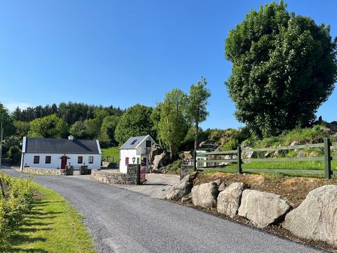 Doonfore FortFairy fort / earthen ringfort · 277 yd
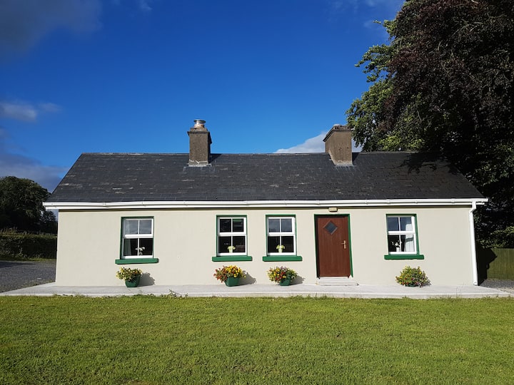 Enclosure in Cottage (costello By.)Enclosure · 711 yd
 Saint Mary's Catholic Churchchurch/chapel · 1436 yd
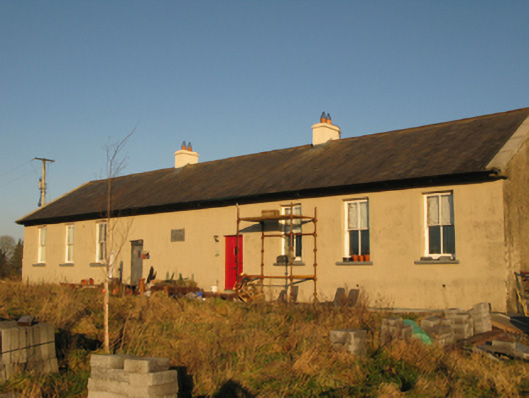 Saint Joseph's National Schoolschool · 1.2 mi
 CastleCastle, unclassified · 2.4 mi
 Slieve DartMountain / peak · 4.1 mi
 Dunmore CastleCastle · 6.3 mi
 Oak WoodForest · 8.4 mi
 Land of the GiantsHeritage attraction · 9.3 mi
 Geoffrey's WoodForest · 9.3 mi
 Mass RockNamed rock · 15 mi
 Knockanroe FortEnclosure · 1249 yd
Other information
Photo: Credit not shown in the picture search · Rights wording not checked; contact us if this picture should be removed