What is recorded here
Lerhin Castle watches the west while the forgotten enclosure lies crushed under grass and quarry scars. Perhaps people lived inside those vanished banks before stone hunger consumed them, but no name or date remains to prove it. What is left is a thin rib of earth on a slight rise, waiting for someone to imagine the shape it lost.
On a slight rise in undulating grassland. Very poorly preserved enclosure defined by two banks and an intervening fosse which survive for only a 6m stretch at NW. The remainder of the monument has been extensively quarried away and an irregular scarp is all that survives of S half. Lerhin Castle (GA018-036----) lies to W.
The above description is derived from the published 'Archaeological Inventory of County Galway Vol. II - North Galway'. Compiled by Olive Alcock, Kathy de hÓra and Paul Gosling (Dublin: Stationery Office, 1999).
Date of upload: 05 August 2010
The monument record does not grant public access. Check the route and ask the landowner before entering private land.
- What survives
- Recorded monument
Places near here
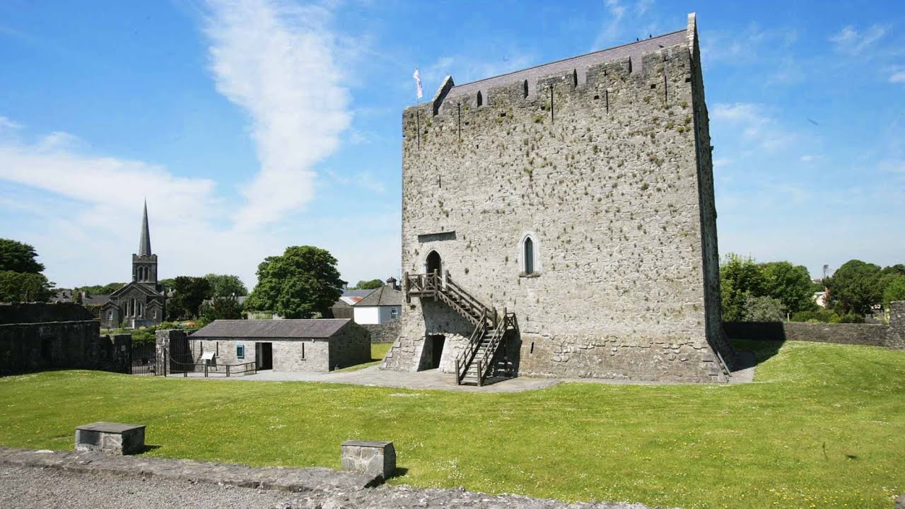 Lerhin CastleCastle · 421 yd
 Park CastleCastle · 1122 yd
 Derrynabuie Househouse · 1.2 mi
 Enclosure in TimadooaunEnclosure · 1.3 mi
 Clonbern Parkoutbuilding · 1.5 mi
 Holy WellHoly well · 1.7 mi
 Mountbellew ForestForest · 8.8 mi
 Cloonavihony WoodForest · 9.0 mi
 Site of Killomaine Grave YardArchaeological place · 9.2 mi
 Mount MaryMountain / peak · 9.5 mi
 Knockmoy AbbeyHeritage attraction · 10 mi
 Mass RockNamed rock · 13 mi
Other information
Photo: Credit not shown in the picture search · Rights wording not checked; contact us if this picture should be removed