What is recorded here
Leamnaguila held a very large rath with three earthen rings, big enough to swallow a village and strange enough to tempt belief in fairy work. The rings stood out in level pasture, marking a place where human hands shaped the land into a circle that could have hidden chambers, ledgers or lives. Much of that shape has been lost, but the remaining bank still curves like a remembered gesture, inviting wonder about what the rings enclosed and who walked inside them.
In fairly level pasture, to the SW of a road. This rath is indicated on the 1846 OS 6-inch map as a trivallate circular enclosure (max. diam. c. 60m). It is indicated on the 1894 OS 6-inch map as a roughly oval, trivallate enclosure. The present remains consist of a circular area (38m N-S) defined by a bank (Wth 7.2m; int. H 0.3m; ext. H 0.5m). The interior is concave. There is a possible entrance at NW where a break in the bank occurs. According to local information, the remainder of the rath was levelled in the 1970s. It was described in the 1840s as a 'very large' rath towards the centre of Leamnaguila (OSNB, Kilcredane, 19). In the 1940s 'three earthen rings about a fort in Mrs. Lenihan's farm in Leamnaguilea' were noted (Schools Manuscript, Co. Kerry). A possible Man-made underground passage (KE058-013001-) is associated with this rath. A second rath (KE058-014----) lies c. 180m to the E.
Compiled by: Elizabeth Byrne, Ursula Egan and Sheila Ronan, Archaeological Survey Unit, University College, Cork.
Date of upload: 31 January 2011
The monument record does not grant public access. Check the route and ask the landowner before entering private land.
- What survives
- Recorded monument
Places near here
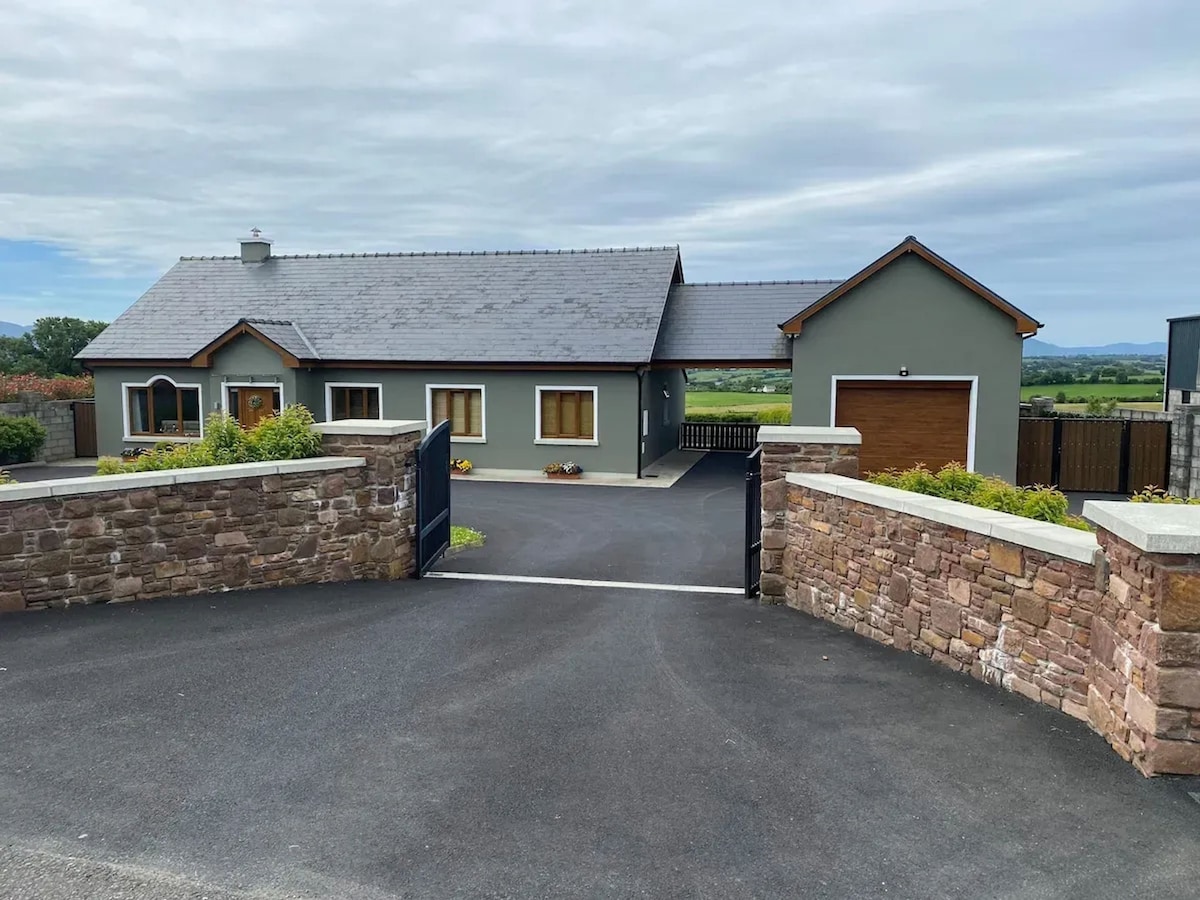 Enclosure in LeamnaguilaEnclosure · 411 yd
 Enclosure in Coolbaun (magunihy By., Kilcredane Par.)Enclosure · 687 yd
 Dooneen Br.Bridge · 1.4 mi
 Ardagh Ho (in ruins)House, 16th/17th century · 1.4 mi
 CastleCastle, motte · 2.1 mi
 Fieries CastleCastle · 3.5 mi
 Aghadoe Early Medieval Ecclesiastical SiteHeritage attraction · 4.1 mi
 Famine MemorialMemorial · 4.7 mi
 GinkgoGinkgo · 5.0 mi
 Kerry 2nd Brigade of the Irish Republican ArmyMemorial · 5.1 mi
 Circular WalkWalking route · 5.1 mi
 Giant SequoiaGiant Sequoia · 5.2 mi