What is recorded here
Five thick roundwoods lie parallel beneath the Castletown Bog peat, a forgotten crossing built when the narrowest part of the land still needed a firm path. They emerged during the 2016 excavation, not as a road but as a deliberate platform, perhaps carrying people, timber or prayer across wet ground that swallowed ordinary feet. The woods have stayed aligned while centuries of water moved around them, preserving the shape of a choice made long before writing reached that valley.
This site is located in the industrial peatlands of Castletown Bog. It was first identified in the Reassessment Peatland Survey in 2013, located at the S extent of the narrowest part of the bog, and was classified as a Class 3 Road (Whitaker 2014). On excavation in 2016 (licence 15E0189), it was revealed that the site consisted of multiple associated brushwood and roundwood platforms. Two cuttings were opened, and the structures found in either are classified separately.
In the second cutting (OF-CTN003b), located 15m north of Cutting 1 and measuring 6x4m, excavation revealed two associated but separate structures. The one concerned here consisted of five widely placed parallel roundwoods and some associated light brushwood, orientated N-S.
Compiled by: Jane Whitaker/Femke Vleeshouwer
Date of upload: 8th April 2020
The monument record does not grant public access. Check the route and ask the landowner before entering private land.
- What survives
- Recorded monument
Places near here
 PlatformPlatform, peatland · 1 yd
 StructureStructure, peatland · 259 yd
 RoadRoad, class 1 togher · 533 yd
 Castle ArmstrongHouse, fortified house · 980 yd
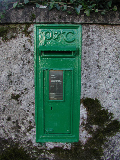 post boxpost box · 1621 yd
 Lemanaghan CastleCastle, tower house · 1.3 mi
 European ashEuropean ash · 1.3 mi
 Inchaloon IslandIslet · 2.8 mi
 Cocta HillMountain / peak · 3.3 mi
 Clara Bog BoardwalkHeritage attraction · 4.4 mi
 Saint Reaghan's WellSpring · 4.4 mi
 Roughan HillMountain / peak · 4.5 mi