What is recorded here
Fairy fort in Lauragh Lower is a ruined earthen ring on a wooded hill west of the Healy Pass road. Its broken bank, narrow ditch, shallow outer rim, and wide southwest entrance still shape the ground, though cattle paths have cut through the scarped edge. The uneven interior slopes gently eastward, and a man-made underground passage lies hidden in the southeast quadrant. Trees crowd the rath now, but the surviving lines suggest people once shaped this hill for defense, residence, or ritual before forgetting the name.
In mixed woodland and pasture, on a hillock to the W of the Healy Pass road. A raised roughly circular area (28m N-S; 23m E-W; H 2.05m) defined by a scarp with a rim, an intervening fosse (Wth 2.75m) WNW-NNE and an outer bank (H 0.15m) WNW-NNE. The earthen scarp and the rim are eroded and crossed by numerous cattle-breaks and paths. There is an entrance ramp (Wth 5.6m) at SW. The interior is uneven and slopes gently down to the E. There is a Man-made underground passage (KE108-018001-) in the SE quadrant. Trees grow within and around the rath.
The above description is derived from the published 'Archaeological Inventory of County Kerry. Volume I: South-West Kerry' (Dublin: Stationery Office, 2009). In certain instances the entries have been revised and updated in the light of recent research.
Date of upload: 30 May 2011
The monument record does not grant public access. Check the route and ask the landowner before entering private land.
- What survives
- Recorded monument
Places near here
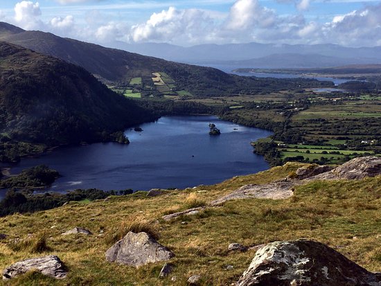 Man-made underground passage in Lauragh LowerMan-made underground passage · 8 yd
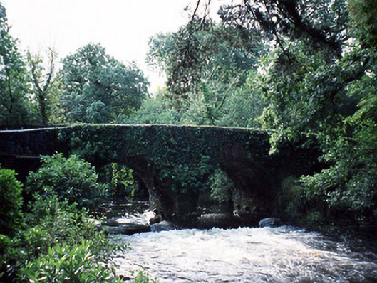 Lauragh Bridgebridge · 207 yd
 Bridge in Derreen (glanarought By.)Bridge · 248 yd
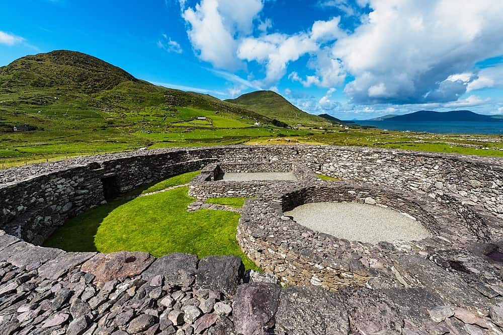 Fairy fort / earthen ringfort in Lauragh LowerFairy fort / earthen ringfort · 555 yd
 New Zealand broadleafNew Zealand broadleaf · 958 yd
 Japanese cedarJapanese cedar · 1010 yd
 KnockastumpaMountain / peak · 1.3 mi
 KnockateeMountain / peak · 1.3 mi
 Crane IslandIslet · 1.8 mi
 Duck RockIslet · 1.8 mi
 DroppaCliff · 3.3 mi
 Gleninchaquin WaterfallWaterfall · 5.3 mi