What is recorded here
Laughill still keeps the Rath name, though the ground has forgotten the shape that gave it life. A circle of stones or a ring of turf may have marked the place before human memory began to record it. The name survives because somebody stood inside that circle and spoke it aloud.
The official Northern Ireland record identifies this as RATH. Recorded period: E.CHRIST.. The official map point was placed at the centre of the recorded archaeological site from the source map reference.
The monument record does not grant public access. Check the route and ask the landowner before entering private land.
- What survives
- Recorded monument
Places near here
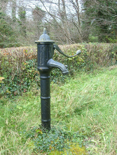 water pumpwater pump · 1.4 mi
 Rowantreehill Househouse · 1.5 mi
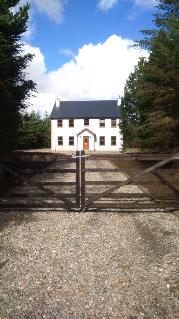 Enclosure in LissachollyEnclosure · 1.5 mi
 Lissacholly Earthen RingfortFairy fort / earthen ringfort · 1.5 mi
 InishkeenIslet · 1.9 mi
 Belleek Pottery MuseumMuseum · 2.1 mi
 Belleek PotteryHeritage attraction · 2.1 mi
 GorminishIslet · 2.3 mi
 Castle in ruinsCastle, unclassified · 2.5 mi
 St Anne's Church GraveyardGraveyard · 3.8 mi
 Rosfriar PointHeadland · 3.8 mi
 Lareen BayBay · 4.0 mi