What is recorded here
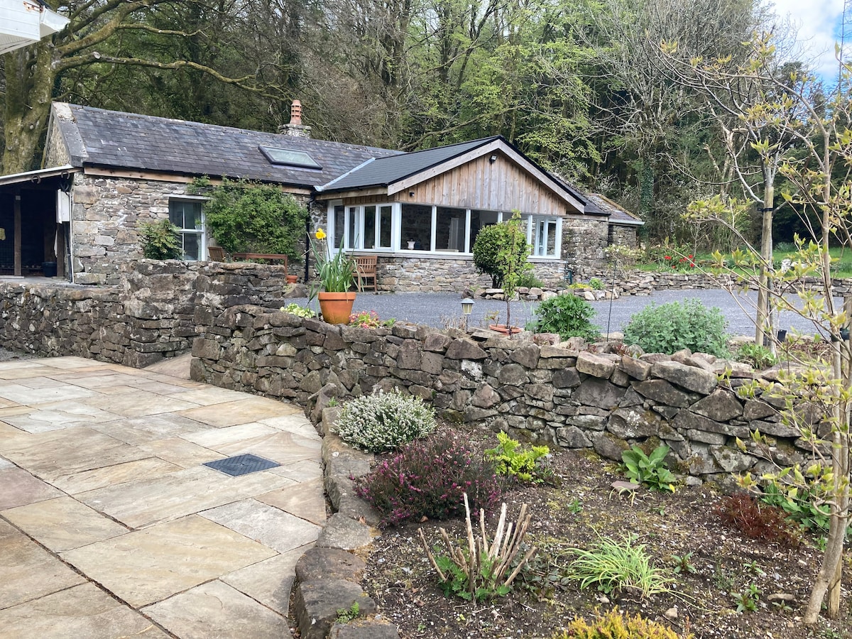
Embanked enclosure is a fairy fort or stone ringfort in Laughil (boyle By.), County Roscommon, Ireland. It appears only on the 1837 Ordnance Survey map as a circular embanked enclosure about 35 metres across on level ground with rock outcrop. The site is no longer visible because a farmhouse and yard now occupy it, while Rath lies 140 metres to the south-southwest.
Marked as a circular embanked enclosure (ext. diam. c. 35m) only on the 1837 ed. of the OS 6-inch map, and situated on level ground with rock-outcrop. It is not visible at ground level, and the site is now occupied by a farmhouse and yard. It may have been a cashel. Rath (RO007-078----) is c. 140m to the SSW.
Compiled by: Michael Moore
Date of upload: 24 August 2010
The monument record does not grant public access. Check the route and ask the landowner before entering private land.
- What survives
- Recorded monument
Places near here
 St. Eidins GraveShrine · 1154 yd
 Church (in Ruins)Church · 1160 yd
 Ecclesiastical enclosure in TumnaEcclesiastical enclosure · 1163 yd
 Killeen ChurchChurch · 1444 yd
 Hughestown WoodForest · 1.3 mi
 Moon RiverHeritage attraction · 2.0 mi
 PortCastle, unclassified · 2.2 mi
 CastlecarraCastle, unclassified · 2.5 mi
 Battle of Áth an Chipbattle · 2.7 mi
 Shannon-Erne WaterwayVisitor information · 2.9 mi
 InishnagonIsland · 3.4 mi
 Leabaidh DermotCave · 4.6 mi
Other information
Photo: Credit not shown in the picture search · Rights wording not checked; contact us if this picture should be removed