
What is recorded here
Yes. An ecclesiastical enclosure in Laraghbryan East, near a possible castle and an early monastic site in County Kildare. It may have belonged to the church or monastic place rather than the castle.
In open, level, improved pasture c. 200m E of a possible castle site (KD005-008----) and c. 250m NE of an early monastic site (KD005-009001-), a medieval church (KD005-009002-) and a graveyard (KD005-009001-). Visible on a 1966 aerial photograph (CUCAP APE 8) as a short, curving arc of shallow fosse. It may mark the E limits (NE-E-SE) of a large enclosure (traceable L c. 60m; Wth 5.5m; D 0.4m), more likely to have been associated with possible pre-Norman monastic activity at nearby Laraghbryan (KD005-009001-) than with the possible castle (KD005-008----) to the W.
Compiled by: Gearóid Conroy
Date of upload: 10 June 2011
The monument record does not grant public access. Check the route and ask the landowner before entering private land.
- What survives
- Recorded monument
Places near here
 CastleCastle, unclassified · 200 yd
 Ecclesiastical site in Laraghbryan EastEcclesiastical site · 223 yd
 Enclosure in Laraghbryan EastEnclosure · 400 yd
 Oscoil Na hÉirean Má NuadMemorial · 712 yd
 Jackson's Bridge and 14th Lockbridge · 742 yd
 NUI MaynoothMemorial · 745 yd
 Maynooth University South CampusHeritage attraction · 874 yd
 Library GardenHeritage attraction · 889 yd
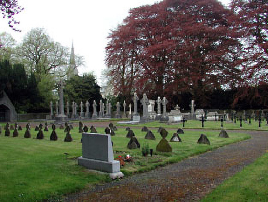 Saint Patrick's Collegegraveyard/cemetery · 1062 yd
 The OrchardWood · 1120 yd
 Tree of HeavenTree of Heaven · 1191 yd
 Enclosure in MaynoothEnclosure · 588 yd
Other information
Photo: Credit not shown in the picture search · Rights wording not checked; contact us if this picture should be removed