What is recorded here
In pasture, on an E-W hollow with views W to Knockomagh. A roughly oval area (7m N-S; 5.7m N-S) is defined by the remains of an earth and stone wall (T c. 1m; H 0.2-0.9m). The wall consists of an intermittent outer facing of large stones and an inner row of contiguous slabs with an infill of earth and small stones between them. Across the centre of the interior are an E-W slab (L 1.9m; H 0.4m; T 0.1m), a smaller N-S slab at right angles to its E end and a N-S slab (L 1.05; H 0.5m; T 0.1m) 1.6m to its E. The purpose of these slabs is not clear. Another slab set radially across the bank at S may mark a possible entrance, the bank being low at that point. The entire enclosure is heavily overgrown with ferns and briars.
The above description is derived from 'The Archaeological Inventory of County Cork. Volume 5' (Dublin: Stationery Office, 2009).
Date of upload: 22 December 2009
The monument record does not grant public access. Check the route and ask the landowner before entering private land.
- What survives
- Recorded monument
Places near here
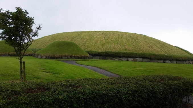 Hut site in Munnig NorthHut site · 407 yd
 Kiel (Disused)Burial ground · 747 yd
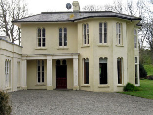 Lough Ine Househunting/fishing lodge · 1279 yd
 Wild Atlantic Way:Lough HyneVisitor information · 1365 yd
 KnockomaghMountain / peak · 1701 yd
 quay/wharfquay/wharf · 1708 yd
 ClochánCastle · 1710 yd
 Lough HyneVisitor information · 1.2 mi
 Trá na BóBeach / strand · 1.3 mi
 Walk 5 - Lough Hyne (7km)Walking route · 1.4 mi
 TralispeanBeach / strand · 1.4 mi
 Bullock IslandIslet · 1.5 mi