What is recorded here
Indicated was a twenty-five-metre fairy fort in County Mayo pasture, holding a man-made cave in its western half before reclamation tools erased it in 1990. The 1837 map drew its complete circle while the 1929 version reduced the ancient boundary to a faint curving arc. Humans may have forgotten the shape long before the machines arrived, but the land kept the cave hidden beneath ordinary grass until the final destruction.
In pasture. Shown on the 1837 OS 6-inch map as a circular enclosure (diam. c. 25m), with a Man-made underground passage (SL120-054002-) marked as 'Cave' in the W half of the interior. It is shown on the 1929 edition of the map only as an arc of hachuring curving W-N. It was levelled during reclamation in 1990 (Lavelle 1994).
Compiled by: Jane O'Shaughnessy
Date of upload: 12 December 2014
The monument record does not grant public access. Check the route and ask the landowner before entering private land.
- What survives
- Recorded monument
Places near here
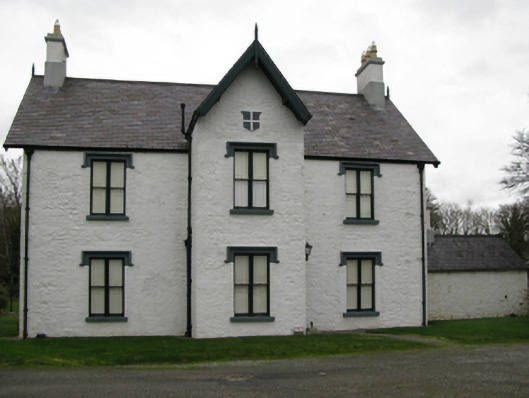 Lackafinna Househunting/fishing lodge · 381 yd
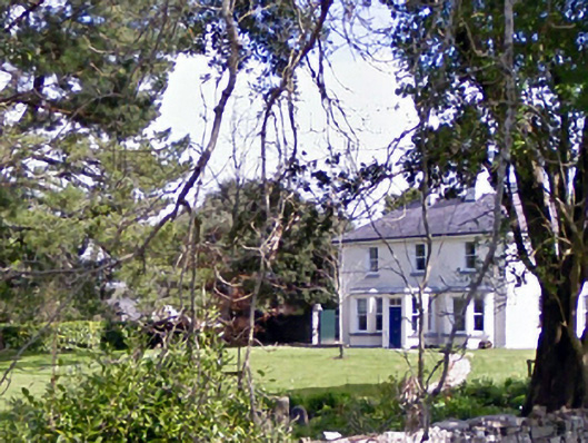 Glenninahouse · 550 yd
 Enclosure in LackafinnaEnclosure · 626 yd
 Stone CircleStone circle · 978 yd
 Easter IslandIslet · 1269 yd
 Kelly's CaveCave · 1368 yd
 Bartragh IslandIslet · 1.0 mi
 Cong AbbeyHeritage attraction · 1.0 mi
 European YewEuropean Yew · 1.1 mi
 Quiet Man MuseumMuseum · 1.1 mi
 TonacashlanCastle, unclassified · 1.1 mi
 Caherduff CastleCastle · 1.1 mi
Other information
Photo: Credit not shown in the picture search · Rights wording not checked; contact us if this picture should be removed