
What is recorded here
On a rise in garden, dwelling to W. Stone circles (MA120-045----), (MA120-047----), (MA120-048----) to N and E. Enclosed W to E by modern iron fence and E to W, by stone field fence. Circle incomplete, comprising twenty-one stones. Thirteen stones set into inner base of earthen bank (H 0.5m), levelled E to W. Orthostats are 0.38m to 1.4m L, 0.14m to 0.4m T, 0.2m to 1.2m H. Internal measurement 17.4m N-S; 17.6m E-W. This is a national monument (no. 146) in state guardianship.
The above description has been derived from D. Lavelle (compiler), An Archaeological Survey of Ballinrobe and District including Lough Mask and Lough Carra. Lough Mask and Lough Carra Tourist Development Association (1994), No. 5.
Date of upload: 5 December 2012
The monument record does not grant public access. Check the route and ask the landowner before entering private land.
- What survives
- Recorded monument
Places near here
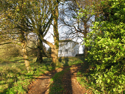 rectory/glebe/vicarage/curate's houserectory/glebe/vicarage/curate's house · 319 yd
 IndicatedFairy fort / stone ringfort · 804 yd
 Enclosure in LackafinnaEnclosure · 907 yd
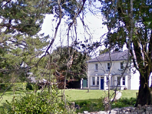 Glenninahouse · 920 yd
 Kelly's CaveCave · 1125 yd
 Caherduff CastleCastle · 1540 yd
 Cong AbbeyHeritage attraction · 1.0 mi
 Quiet Man MuseumMuseum · 1.1 mi
 TonacashlanCastle, unclassified · 1.1 mi
 European YewEuropean Yew · 1.1 mi
 Easter IslandIslet · 1.3 mi
 Silver FirSilver Fir · 1.3 mi
Other information
Photo: C Michael Hogan · CC BY-SA 2.0