What is recorded here
A standing stone situated in rough pastureland on the S slopes of Moanlaur, overlooking Castlemaine Harbour. Now inclined to SW, it would stand 3.22m high if erect; c. NE-SW. The maximum dimensions, .61m x .35m, occur midway up the stone; from here it tapers towards the top and decreases in width but increases in thickness towards the base.
The above description is derived from J. Cuppage, ‘Corca Dhuibhne. Dingle Peninsula archaeological survey. Ballyferriter. Oidhreacht Chorca Dhuibhne’ (1986), no. 128. In certain instances the entries have been revised and updated in the light of recent research.
Date of upload: 4 August 2013
Likely dating to the Late Neolithic or Bronze Age, the stone may have functioned as a territorial marker, ceremonial focus, or astronomical alignment. No specific folklore is recorded, though its position overlooking the harbour suggests a possible connection to navigation or local trade routes.
The monument record does not grant public access. Check the route and ask the landowner before entering private land.
- What survives
- Recorded monument
Places near here
 KilnKiln, corn-drying · 488 yd
 Church in LackChurch · 808 yd
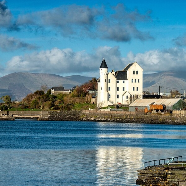 Hut site in CaherpierceHut site · 1511 yd
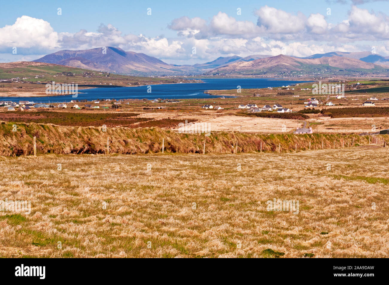 IndicatedHoly well · 1.0 mi
 Lack MountainMountain / peak · 1.3 mi
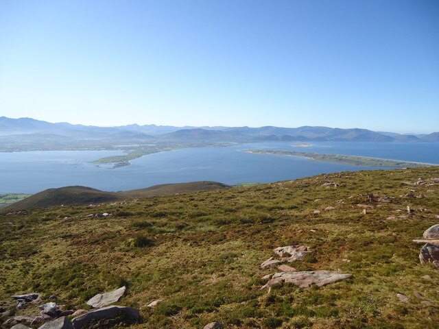 MoanlaurMountain / peak · 1.4 mi
 Cromane PointHeadland · 1.4 mi
 Cromane BeachBeach / strand · 3.2 mi
 Inch BeachBeach / strand · 3.4 mi
 Faisr's GraveArchaeological place · 3.8 mi
 Site of Camp CastleCastle, unclassified · 4.1 mi
 Lough Yganavan Nature ReserveNature reserve · 4.6 mi