What is recorded here
Fairy fort / earthen ringfort in Kyleballynamoe stands on a steep terrace above the Nuenna river valley, its thirty-metre circle marked by a low stoney bank and a narrow external fosse. Inside the NE quadrant, rectangular stone foundations outline a lost building, while a large boulder rests in the southern earth. The site faces east, west and north across open valley, but southward view is blocked by rising ground, leaving the interior half-hidden beneath woodland and age.
On the edge of woodland, on a terrace on the steep S slopes of the Nuenna river valley. Monument tree covered. There are good views to the E and W and across the valley to the N, view S limited by rising ground. A roughly circular area (diam. 30m N-S; 31m E-W) enclosed by a low stoney earthen bank (overall Wth 3.5m; Wth at crest 1m; int. H 0.45m; ext. H 0.9m) and narrow external fosse (Wth 2m; D 0.2m). Within the NE quadrant of the flat interior there are the foundations of a rectangular building (ext. dims. 7m SSE-NNW x 5m ENE-WSW) defined by a low stone walling (Wth 1m; H 0.3m) with a number of large rectangular blocks of stone. There is an entrance (Wth 1m) at its NE end. There is also a large boulder in the S portion of the ringfort.
Compiled by: Jean Farrelly
Date of upload: 22 January 2020
The monument record does not grant public access. Check the route and ask the landowner before entering private land.
- What survives
- Recorded monument
Places near here
 Enclosure in MonabrogueEnclosure · 457 yd
 IndicatedEnclosure · 652 yd
 Church in KyleballynamoeChurch · 843 yd
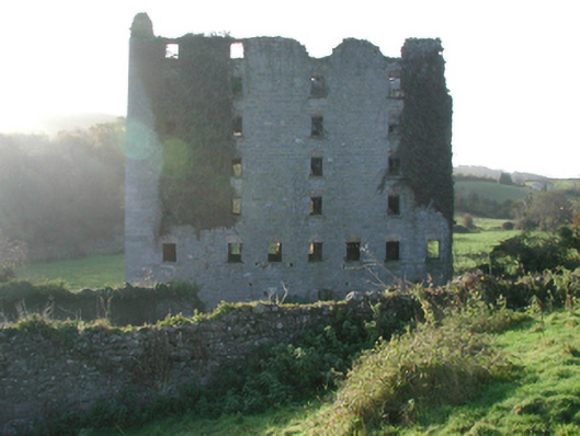 Clomantagh Millsmill (water) · 1286 yd
 Tubbrid Castle (in ruins)Castle, tower house · 1758 yd
 CastleCastle, tower house · 1.1 mi
 The CopseWood · 1.6 mi
 Brown's WoodWood · 1.9 mi
 Freshford LoopWalking route · 2.1 mi
 Clomantagh HillMountain / peak · 2.7 mi
 John HelyMemorial · 4.6 mi
 DelaneyMemorial · 4.7 mi