
What is recorded here
Half a hectare of grass, ringed by a five-metre earthen bank, sits in the shallow fold between the northern rise and the Knowth ridge, just west of the burial ground. The D-shaped enclosure has watched that valley for centuries, perhaps holding herds, perhaps gathering people for rituals beside the mound. Its edges still show beneath the newer field bank, waiting for someone to walk them and imagine what life moved inside.
Located in a slight E-W dip or fold between a rise to the N and the ridge of Knowth c. 200m to the S, and just W of the burial ground (ME019-028----). This is a large D-shaped and grass-covered area (dims 50m N-S; c. 38m E-W) defined by an earthen bank (Wth c. 5-6m) that partially underlies a NNW-SSE field bank added since 1836 (OSI 6-inch map).
See attached aerial photographs taken from Google Earth 2013 and 2005.
Compiled by: Michael Moore
Date of upload; 8 June 2021
The monument record does not grant public access. Check the route and ask the landowner before entering private land.
- What survives
- Recorded monument
Places near here
 Not indicaetdPassage tomb · 375 yd
 Knowth Timber CircleHeritage attraction · 426 yd
 MoatPassage tomb · 437 yd
 KnowthArchaeological place · 438 yd
 Knowth Fox CovertWood · 843 yd
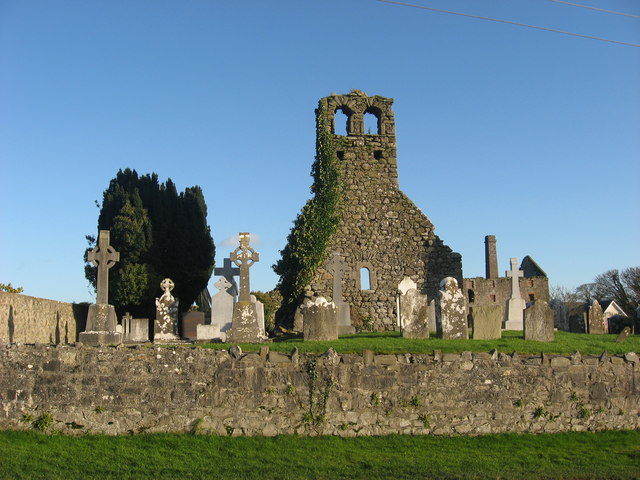 Church (in Ruins)Church · 1.2 mi
 Mill Housemill (water) · 1.2 mi
 Dowth CastleCastle, tower house · 1.7 mi
 Brú na Bóinne Visitors CentreVisitor information · 1.8 mi
 Fennor CastleCastle · 2.1 mi
 Little WoodForest · 2.1 mi
 RiverviewMemorial · 2.1 mi
Other information
Photo: Credit not shown in the picture search · Rights wording not checked; contact us if this picture should be removed