What is recorded here
Indicated stood in County Cork as an irregular sandstone boulder thirty-six inches high, visible enough to mark the 1842 and 1903 maps before disappearing without a surface trace. It may have guided people through mid-Cork fields or simply resisted the usual human urge to arrange stones into meaning. Its absence now makes the earlier certainty feel like a phantom limb, a shape remembered only through the damage of its loss.
Indicated on 1842 and 1903 OS 6-inch maps. Hartnett (1939, 116) recorded 'an irregular sandstone boulder, 36ins high'. Removed; no visible surface trace.
The above description is derived from the published 'Archaeological Inventory of County Cork. Volume 3: Mid Cork' (Dublin: Stationery Office, 1997). In certain instances the entries have been revised and updated in the light of recent research.
Date of upload/revision: 14 January 2009
Likely dating to the Neolithic or Bronze Age, Knockshanawee was probably a ritual or territorial marker. Its removal and lack of surviving carvings prevent confirmation of specific symbolic meaning or use.
The monument record does not grant public access. Check the route and ask the landowner before entering private land.
- What survives
- Recorded monument
Places near here
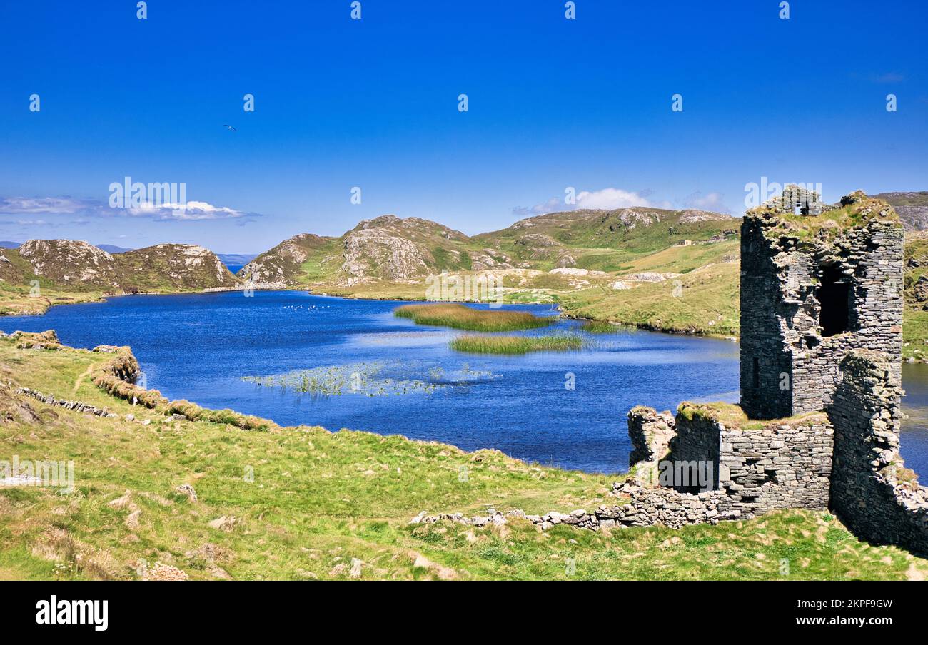 Fulacht FianFulacht fia · 471 yd
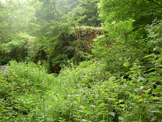 Rye Court Bridgebridge · 1094 yd
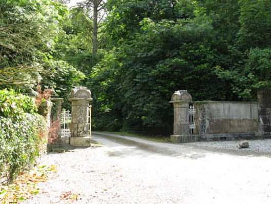 Ryecourt Housegates/railings/walls · 1180 yd
 Pedunculate OakPedunculate Oak · 1329 yd
 Fulachta FiadhFulacht fia · 1686 yd
 Castlemore CastleCastle · 1.0 mi
 Sunday's WellSpring · 1.4 mi
 Old Mansion HoCastle, Anglo-Norman masonry castle · 2.3 mi
 Quarry WoodWood · 2.9 mi
 Carrigadrohid CastleHeritage attraction · 3.2 mi
 Carrigadrohid Castle InfoVisitor information · 3.3 mi
 Independence MuseumMuseum · 3.8 mi