What is recorded here
Knocknaraha holds a subcircular earthen ringfort on a low ridge, its round-topped bank rising one metre above rushes while a second rath waits eighty metres east. The eastern gap may mark the original entrance, but the interior slopes south into emptiness, preserving no hearth, posthole or shadow of the people who shaped it. The fort exists as a boundary drawn in soil, visible from both directions along the ridge, yet its makers and purpose have withdrawn completely.
In rough pasture on top of a low ridge aligned E-W with good views to N and S. Hachured on the 1840 and 1916 OS 6-inch maps. Listed as 'Enclosure' in the RMP (1996). A subcircular rath (int. 17m N-S; 18m E-W) defined by a round-topped earthen bank (Wth 3.3m; int. H 0.25m; ext. H 0.7-1.1m) overgrown along the E. A gap (Wth 2.1m) at the E may be the original entrance. There is no visible fosse. The interior slopes down gently to the S. It is slightly undulating and covered in rushes with no visible internal features. A rath (CL015-055----) lies c. 80m to the E.
Compiled by: Mary Tunney and Eve Campbell
Date of upload: 10 July 2023
The monument record does not grant public access. Check the route and ask the landowner before entering private land.
- What survives
- Recorded monument
Places near here
 Enclosure in Rannagh (killaspuglonane Ed)Enclosure · 414 yd
 LisfurnelFairy fort / earthen ringfort · 834 yd
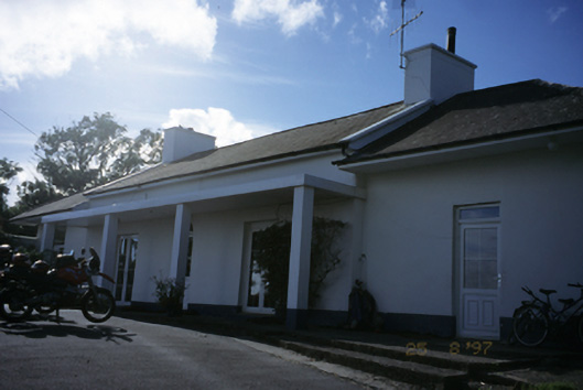 Sandfield Lodgehouse · 1016 yd
 Church in KillaspuglonaneChurch · 1054 yd
 Dough CastleRuins · 1.0 mi
 Lahinch BeachBeach / strand · 1.6 mi
 Site of Tullamore CastleCastle, unclassified · 1.8 mi
 Kilmanahn GraveyardRuins · 2.0 mi
 John P. Holland CentreMuseum · 2.2 mi
 Famine MemorialMemorial · 2.3 mi
 Bridget's Well;St Bridget's WellSpring · 2.8 mi
 Cliffs of Moher Visitor CentreVisitor information · 3.0 mi