What is recorded here
Knocknagoran is a hidden fort, not a missing one. O'Hagan's Fort has surrendered most of its shape to grass and forgetting, yet the southern fence still bends around fifty metres of forgotten wall. The earthwork stopped being obvious, not real. It waits for rain, ploughing or patience to reveal the circle again.
The following description is derived from both the published 'Archaeological Inventory of County Louth' (Dublin: Stationery Office, 1986) and the 'Archaeological Survey of County Louth' (Dublin: Stationery Office, 1991). In certain instances the entries have been revised and updated in the light of recent research.
Date of upload/revision: 17 July 2007
Marked as an antiquity on the current OS 6-inch map and known locally as 'O'Hagan's Fort'. No visible surface trace except curve in field fence to S (C c. 50m)
The monument record does not grant public access. Check the route and ask the landowner before entering private land.
- What survives
- Recorded monument
Places near here
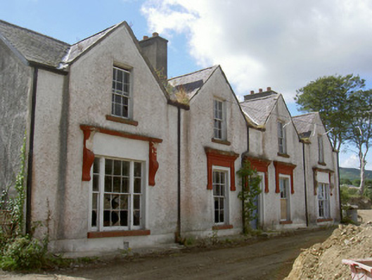 Prospect Househouse · 301 yd
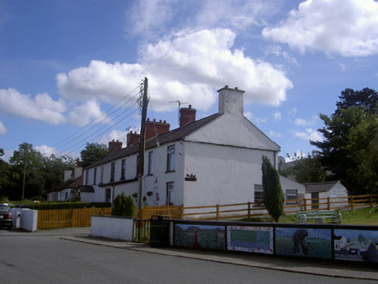 worker's houseworker's house · 323 yd
 Carlingford Lough GreenwayWalking route · 1449 yd
 Hut site in BavanHut site · 1634 yd
 Joanne ReillyMemorial · 1.0 mi
 Settlement cluster in ArdaghySettlement cluster · 1.0 mi
 Dobbin's PointHeadland · 1.5 mi
 Narrow Water KeepHeritage attraction · 1.8 mi
 Warrenpoint ambushambush · 1.8 mi
 Narrow Water WatchtowerVisitor information · 1.8 mi
 TOWER-HOUSE AND BAWN: NARROW WATER CASTLE in Narrow WaterTOWER-HOUSE AND BAWN: NARROW WATER CASTLE · 1.8 mi
 The Foxes RockMountain / peak · 1.8 mi