What is recorded here
Indicated was a working field system beside a cashel in County Mayo, where stone walls and cultivation ridges marked human life across rolling limestone. It likely belonged to the small cluster of houses recorded near the cashel before reclamation removed almost every visible trace. What remains is a faint suggestion in the grass, a landscape that has forgotten the hands which shaped it.
In the vicinity of a cashel (MA119-040001-), in rolling limestone grassland, broken by expanses of karst and high rock-outcropping.
An aerial photograph (SMR file: CUPAP AYR 87 & 88 & 89) records a field system of subrectangular walled fields, in which cultivation ridges are visible. It surrounds the cashel and extending to E and S of it, but post-dates it. It is most likely associated with a cluster of ruined rectangular vernacular houses visible in the CUCAP photograph at a distance of c. 55m to SE of the cashel. This settlement is recorded on the 1838 OS 6-inch map, where five houses/buildings are shown, with an access road approaching from S and E; it is not shown on later map editions.
Almost all trace of the settlement, field walls and cultivation ridges -bar a few slight surface undulations -were removed during reclamation works.
Compiled by: Jane O’Shaughnessy
Date of upload: 10 August 2023
The monument record does not grant public access. Check the route and ask the landowner before entering private land.
- What survives
- Recorded monument
Places near here
 IndicatedFairy fort / stone ringfort · 84 yd
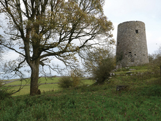 Highwood Millmill (wind) · 1066 yd
 Enclosure in Ardkill,caherwiclaun,kilquire UpperEnclosure · 1403 yd
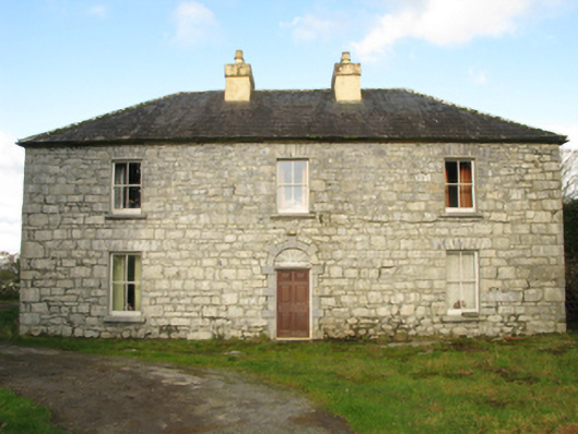 Carranvilla Housefarm house · 1538 yd
 Bawn in Kilquire LowerBawn · 1.4 mi
 Killernan CastleCastle · 1.7 mi
 European YewEuropean Yew · 2.9 mi
 SycamoreSycamore · 3.8 mi
 Mass RockNamed rock · 8.8 mi
 Ross Errilly FriaryHeritage attraction · 9.1 mi
 School of FalconryHeritage attraction · 9.6 mi
 Oileán na nAnamIslet · 9.8 mi