What is recorded here
Embanked enclosure is a fairy fort or ringfort in Knocknacrooha Upper, County Waterford, Ireland. The 1840 edition of the Ordnance Survey six-inch map marked an oval embanked enclosure measuring about 70 metres from northwest to southeast and 45 metres from northeast to southwest. The Archaeological Inventory of County Waterford recorded the site in pasture on a south-facing slope and stated that it was not visible at ground level during that account.
Marked as an oval embanked enclosure (ext. dims. c. 70m NW-SE; c. 45m NE-SW) only on the 1840 ed. of the OS 6-inch map. Situated in pasture on a S-facing slope, it is not visible at ground level.
The above description is derived from the published 'Archaeological Inventory of County Waterford' (Dublin: Stationery Office, 1999). In certain instances the entries have been revised and updated in the light of recent research.
Date of upload/revision: 26th July, 2010.
The monument record does not grant public access. Check the route and ask the landowner before entering private land.
- What survives
- Recorded monument
Places near here
 Black HillMountain / peak · 506 yd
 Fulacht fia in Knocknacrooha UpperFulacht fia · 782 yd
 Fulacht FiaidhFulacht fia · 865 yd
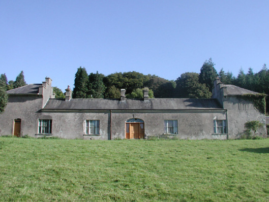 Cappagh Housecountry house · 876 yd
 Abbey (in ruins)Castle, tower house · 1085 yd
 Water millWater mill, horizontal-wheeled · 1734 yd
 Kilgreany CaveCave · 1.9 mi
 Master McGrathMemorial · 2.5 mi
 site of CastleCastle, unclassified · 3.2 mi
 Coillte infoboardVisitor information · 4.5 mi
 Battle of AffaneMajor battlefield · 4.8 mi