What is recorded here
On Seaweed Point, a peninsula extending S from Gentian Hill. Immediately below the sod at the top of an eroding cliff face is a layer of shell, mainly oyster, with burnt stones and charcoal also in evidence. When first noted in 1951 (Topgr. Files, UCG), this layer could be traced for c. 60m, but Keary and Dunne (1973) mention only a 12m stretch, a sample from which produced an uncalibrated 14C determination of 2650 ±110 BP.
The above description is derived from the published 'Archaeological Inventory of County Galway Vol. I - West Galway'. Compiled by Paul Gosling (Dublin: Stationery Office, 1993).
Date of upload: 05 August 2010
The monument record does not grant public access. Check the route and ask the landowner before entering private land.
- What survives
- Recorded monument
Places near here
 Seaweed PointIslet · 115 yd
 Cnoc na gCuinínCliff · 733 yd
 Silver StrandBeach / strand · 1018 yd
 Small Wood Bird SanctuaryForest · 1151 yd
 Site of Barna CastleCastle, unclassified · 1336 yd
 Coillte Loch RoisínWood · 1420 yd
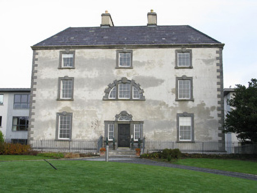 Barna Househouse · 1466 yd
 Tobar ÉannaMonument · 1556 yd
 ToberendaHoly well · 1579 yd
 Old R.C. ChapelChurch · 1613 yd
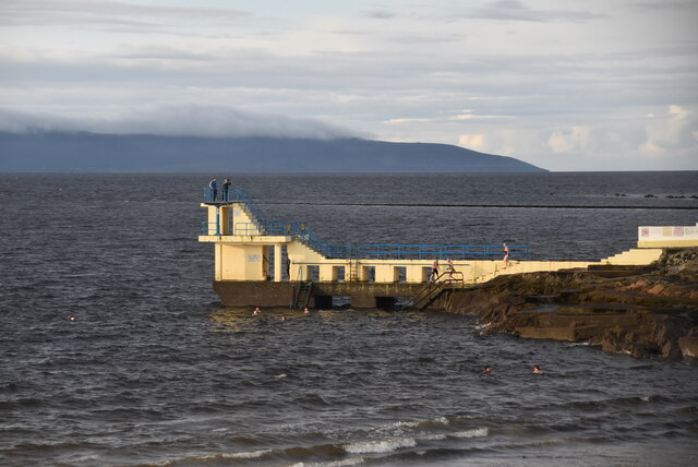 Blackrock BeachBeach / strand · 1.1 mi
 Famine Ship MemorialMemorial · 2.1 mi