What is recorded here
Tobermaconry, a holy well on scrubland overlooking the shore west of Galway city, vanished before the 1945 map edition marked it in ruins. It likely served neighbours seeking water or healing near the sea, yet time and development erased every stone. What remains is a name hovering above ordinary ground, inviting wonder about the hands that dug it and the prayers they offered.
On scrubland overlooking shore, c. 200m S of coast road on W outskirts of Galway city. This well, correctly Tobar Mac Conraoi(?), is indicated on 1st ed. of OS 6-inch map on the side of a laneway running to seashore. Evidently destroyed by time of 3rd ed. (1945), when the words 'in Ruins' and cross symbol for 'Site of' are appended. No visible surface trace survives.
The above description is derived from the published 'Archaeological Inventory of County Galway Vol. I - West Galway'. Compiled by Paul Gosling (Dublin: Stationery Office, 1993).
Date of upload: 05 August 2010
Linked to Saint Mac Conraoi, the well is traditionally associated with cures for eye ailments and general healing. Local folklore suggests the saint was a hermit who lived in the area, and the well was visited with rituals involving nine times around the site and the use of its water mixed with salt.
The monument record does not grant public access. Check the route and ask the landowner before entering private land.
- What survives
- Recorded monument
Places near here
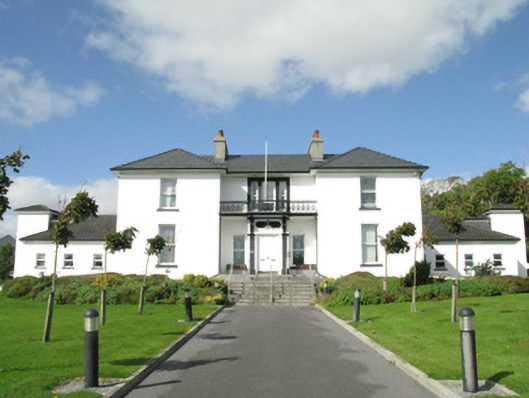 Blackrock Housecountry house · 801 yd
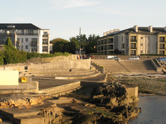 unknownunknown · 923 yd
 Seaweed PointIslet · 1087 yd
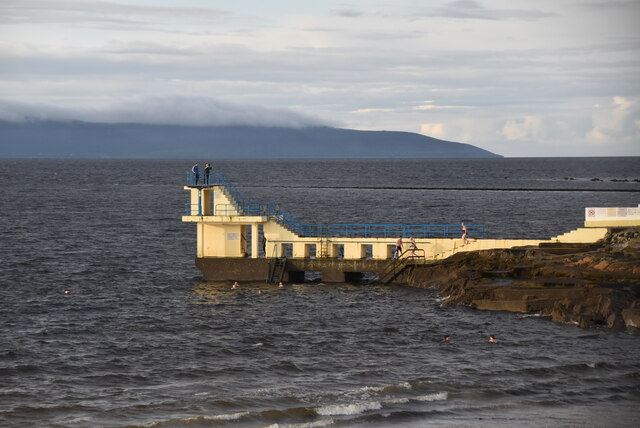 Blackrock BeachBeach / strand · 1118 yd
 Small Wood Bird SanctuaryForest · 1302 yd
 ConeenBeach / strand · 1363 yd
 Cnoc na gCuinínCliff · 1534 yd
 Coillte Loch RoisínWood · 1552 yd
 Site of Barna CastleCastle, unclassified · 1574 yd
 Dalys FortHouse, 18th/19th century · 1.0 mi
 Tobar ÉannaMonument · 1.1 mi
 Famine Ship MemorialMemorial · 1.7 mi