What is recorded here
Knocklong East holds a partial circular platform beside O’Hurley's Castle, with a church, graveyard and three holy wells within a hundred metres. The land has kept that shape through pasture, rain and forgotten footsteps, while people came and went without writing their names on the hill.
In rough pasture on the summit of Knocklong, associated with O’Hurley's Castle (LI041-004005-). Knocklong church (LI041-004002-) and graveyard (LI041-004003-) lie 60m to the SW and 3 holy wells (LI041-004006-/008-) lie 70m to the E. Not indicated on the 1840 ed. OSi 6-inch map. Depicted on the 1897 ed. OSi 25-inch map as a partial circular platform defined by a scarp from NW-N-NE which appears to form a platform on the N side of O'Hurley's Castle. A linear earthwork of a possible road (LI041-004001-) runs N-S to immediatel E of platform. Earthork or platform visible on OSi orthophotograph taken between 2005-12 and on Google Earth orthoimage dated 14/09/2019.
See attached oblique aerial photographs (CUCAP AVT029/030) taken 20/07/1968, BGK054 taken 17/07/1971 and Google Earth orthoimages.
Compiled by: Fiona Rooney
Date of upload: 14 July 2021
The monument record does not grant public access. Check the route and ask the landowner before entering private land.
- What survives
- Recorded monument
Places near here
 Castle (in ruins)Castle, tower house · 12 yd
 RoadRoad, road/trackway · 30 yd
 St. Patricks and St Pauls WellsHoly well · 88 yd
 St Patrick's WellSpring · 90 yd
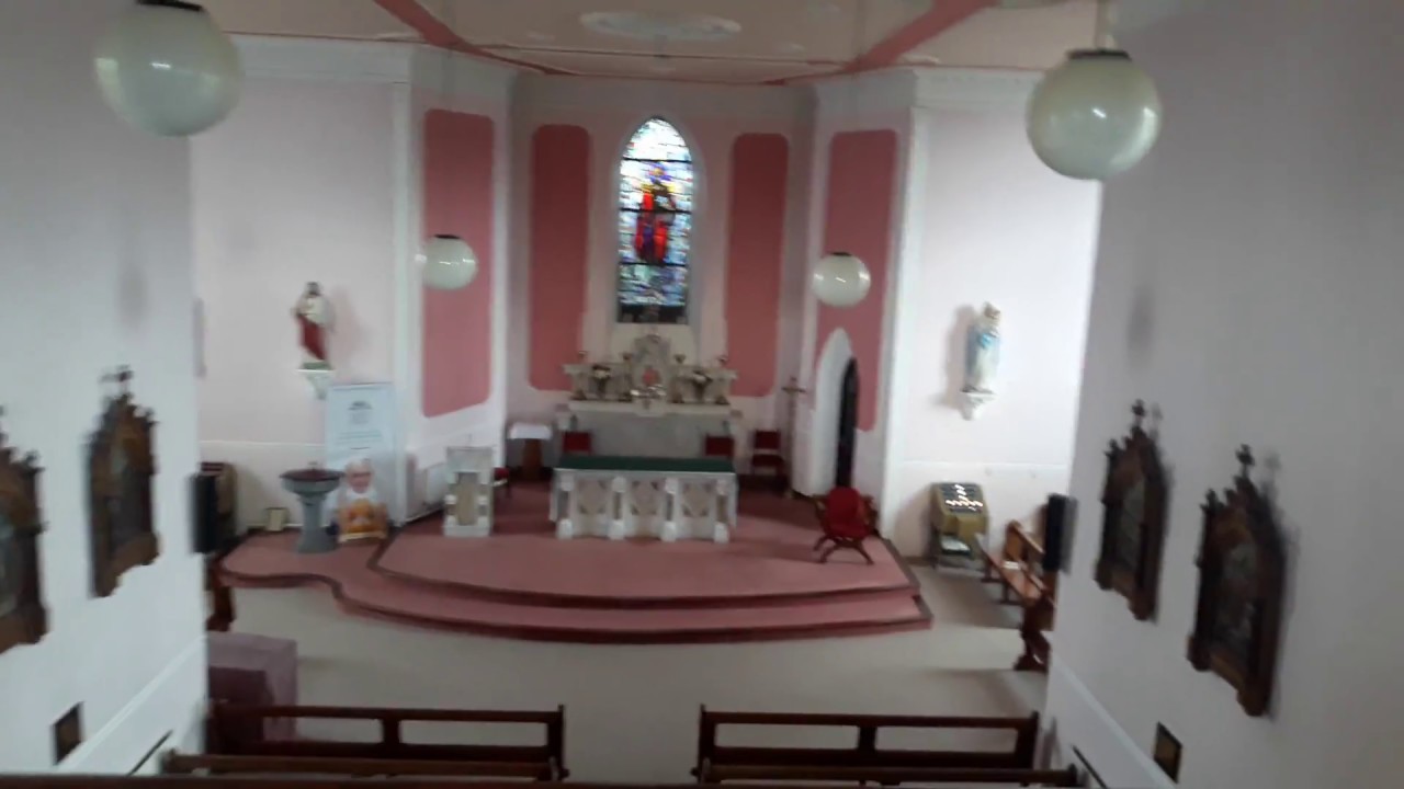 Church (in Ruins)Church · 101 yd
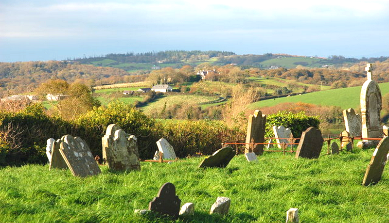 Grave YardGraveyard · 114 yd
 Edmund's WellSpring · 1.5 mi
 Ryves CastleCastle, unclassified · 1.6 mi
 Ballinvreena LoopVisitor information · 3.0 mi
 SlievereaghMountain / peak · 3.5 mi
 Flat cemetery in Knockainy WestFlat cemetery · 3.6 mi
 Palatine's RockNamed rock · 5.2 mi