What is recorded here
Fairy fort / earthen ringfort in Knockgraffon is a fairy fort or earthen ringfort in Knockgraffon, County Tipperary, Ireland. Knockgraffon, County Tipperary, Ireland holds a circular earthwork thirty-two and a half metres north-south and thirty metres east-west. Its five-metre-wide bank reaches one and a quarter metres externally, drops to forty centimetres internally, and carries large limestone blocks. Three gaps, two and a half to three and a half metres wide, break the bank at northwest, east-southeast and south.
In pasture, on top of steep sided hillock. Excellent views afforded over flat land SSW-W-E. Circular area (dims. 32.5m N-S; 30m E-W) defined by earthen bank (Wth 5m; int. H 0.4m; ext. H 1.25m) with inclusions of large blocks of limestone. Bank eroded in places and there area three main breaches: at NW (Wth 2.5m); at ESE (Wth 3.8m) and at S (Wth 3.5m). Bank has some thorn trees on it in places. Remains of small semi-circular hut site (TS068-17 NEW) within. Enclosure (TS068-107----) c. 160m to ENE and ringfort (TS068-108----) c. 270m to ESE.
Compiled by: Jean Farrelly
Date of upload: 26 August 2011
The monument record does not grant public access. Check the route and ask the landowner before entering private land.
- What survives
- Recorded monument
Places near here
 Enclosure in KnockgraffonEnclosure · 232 yd
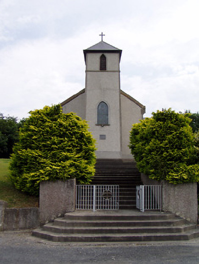 Saint Bartholomew's Catholic Churchchurch/chapel · 765 yd
 LisheenEnclosure · 1030 yd
 Hymenstown Househouse · 1413 yd
 Knockgraffon CastleCastle · 1626 yd
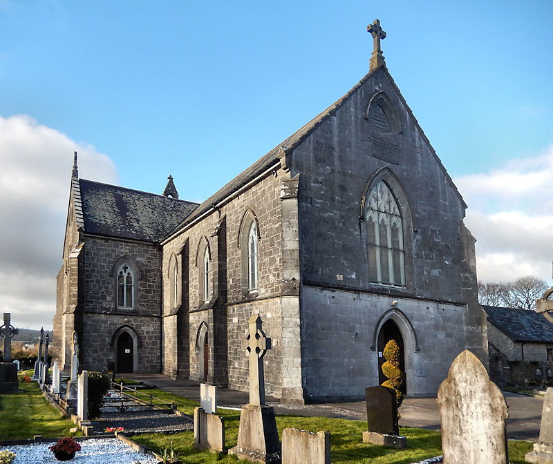 RathwealCastle, ringwork · 1.2 mi
 Caucasian zelkovaCaucasian zelkova · 2.6 mi
 Cappa WoodWood · 3.3 mi
 Caher AbbeyHeritage attraction · 3.5 mi
 Slieveanard NE TopMountain / peak · 3.7 mi
 Siege of Cahir Castlesiege · 3.7 miCahir CastleHeritage attraction · 3.8 mi