What is recorded here
In level grassland. Marked on 1st ed. of OS 6-inch map as a circular enclosure (D c. 40m) but on 3rd ed. (1920) it is shown as a smaller (?)gravel-filled enclosure (D c. 20m) in cleared farmland. According to local information, the area was reclaimed about 50 years ago and no visible surface trace survives.
The above description is derived from the published 'Archaeological Inventory of County Galway Vol. II - North Galway'. Compiled by Olive Alcock, Kathy de hÓra and Paul Gosling (Dublin: Stationery Office, 1999).
Date of upload: 05 August 2010
The monument record does not grant public access. Check the route and ask the landowner before entering private land.
- What survives
- Recorded monument
Places near here
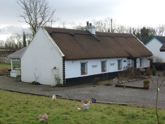 The Thatchhouse · 634 yd
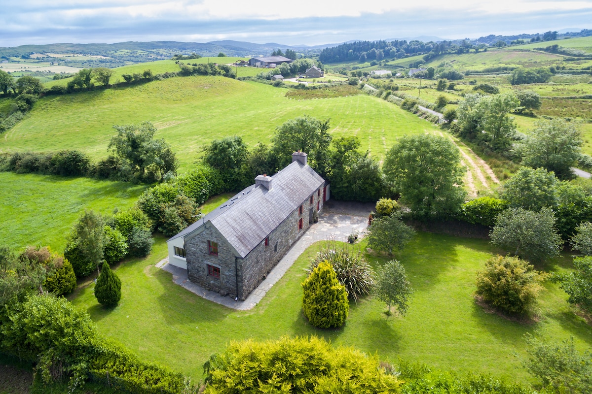 Enclosure in Bredagh (clare By.)Enclosure · 848 yd
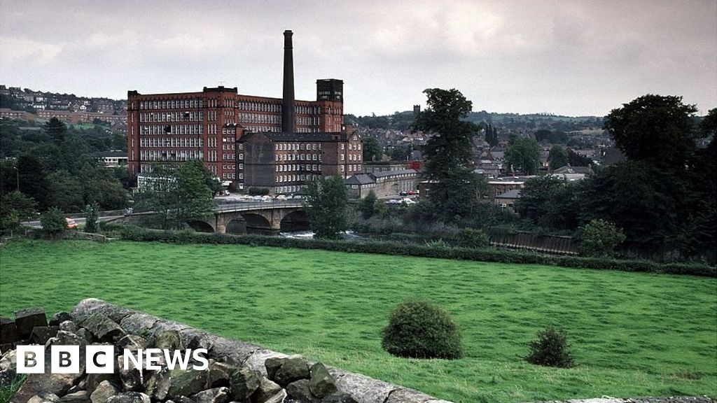 MillMill, corn · 1019 yd
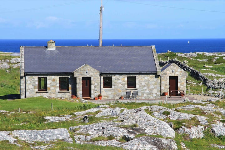 Sweathouse in BallydonnellanSweathouse · 1147 yd
 Kilcoona Round TowerHeritage attraction · 1552 yd
 Castle in ruinsCastle, tower house · 1.2 mi
 Site of CastleCastle, unclassified · 1.3 mi
 Ballinduff BayBay · 2.2 mi
 Cúil DiarmuidWood · 3.8 mi
 Cregg Castle DemesneForest · 4.0 mi
 Walsh's IslandIslet · 4.0 mi
 Oileán an AoilIsland · 4.3 mi