What is recorded here
Castle (in Ruins) is an icehouse in Knockdrin (moyashel & Magheradernon By.), County Westmeath, Ireland. The structure appears as a circular mound one metre high with a central rectangular hollow roughly lined with stones, measuring 7.8 metres from north to south and 5.8 metres from east to west. Situated on a ridge in trees within Knockdrin Demesne, it was mistakenly recorded as castle ruins on the revised 1911 edition Ordnance Survey map.
The townland of Knockdrin was formerly known as Monelea as depicted on the 1655-9 Down Survey map of Rathconnell parish (NLI, MS 723-4). In 1641 the lands of Monelea belonged to Andrew Tuite who is listed in the Down Survey as an 'Irish Papist'. A medieval castle is depicted standing beside a medieval roadway close to the River Gaine in the N quadrant of the townland.
Situated on a ridge in trees in Knockdrin Demesne. A circular-shaped mound (H. 1m) with a central rectangular hollow, roughly lined with stones (diam. 7.8m N-S; 5.8m E-W). Possibly the remains of an ice house or folly. Mistakenly recorded on the revised 1911 ed. OS map as the ruins of a castle.
See attached profile of monument surveyed and drawn by the ASI.
Compiled by: Frank Coyne and Caimin O'Brien
Date of upload: 9 March 2018
The monument record does not grant public access. Check the route and ask the landowner before entering private land.
- What survives
- Recorded monument
Places near here
 Hachured, Bells HillFairy fort / earthen ringfort · 641 yd
 ToberallenHoly well · 959 yd
 OutlinedCastle, tower house · 1084 yd
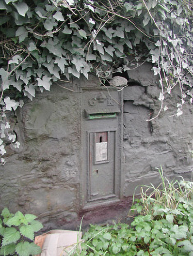 post boxpost box · 1283 yd
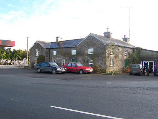 Rose Cottageworker's house · 1293 yd
 Long PlantingForest · 1.3 mi
 Site of CastleCastle, unclassified · 2.0 mi
 Scragh Bog Nature ReserveNature reserve · 2.6 mi
 Saint Brigid's WellSpring · 2.7 mi
 Church IslandIsland · 3.0 mi
 United Nations War MemorialMemorial · 3.2 mi
 The Chimera GalleryGallery · 3.7 mi