What is recorded here
Knockdown holds a buried tomb between Scartaglin and Williamstown, where flat stones rise two feet above the hill before sinking from view. The chamber stretches fifteen feet, its foot-stone still standing while a fallen flag marks the only break in an alignment that may have faced the valley when first built. People walked past this hill for centuries, perhaps forgetting the dead beneath it or perhaps leaving offerings at the place where stone and soil meet.
Possible unlocated megalithic structure located between Scartaglin and Williamstown described in 1854 as follows; ‘About half way to the top of the hill “is a rude structure composed of large flat stones sunk deep in the ground and rising about two feet [0.6m] above the surface as far as half the length. For the rest they appear only a few inches above the ground, except the foot-stone, which is high like those at the top. From head to foot it measures 15 ft. [4.5m] and the breadth in proportion”. It appears perfect and entire as when first erected, except where a roofing flag has fallen in’ (Kerry Archaelogical Magazine 1916, Vol. 19, 218-19).
Compiled by: Caimin O'Brien
Date of upload: 21 April 2022
The monument record does not grant public access. Check the route and ask the landowner before entering private land.
- What survives
- Recorded monument
Places near here
 Enclosure in KnockeennahoneEnclosure · 2.1 mi
 Site of Ardnagragh CastleCastle, unclassified · 2.5 mi
 Enclosure in Derreen (trughanacmy By.)Enclosure · 2.5 mi
 Ardnacreach CastleCastle · 2.5 mi
 Kilnananima Church (in ruins)Church · 2.5 mi
 Doctor's HillMountain / peak · 2.5 mi
 Mount EagleMountain / peak · 2.8 mi
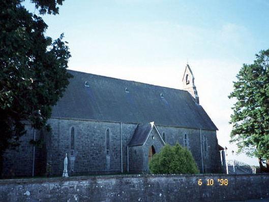 Catholic Church of the Immaculate Conceptionchurch/chapel · 3.0 mi
 Barna BogForest · 3.3 mi
 Nohaval WoodWood · 8.4 mi
 Famine MemorialMemorial · 12 mi
 Kerry 2nd Brigade of the Irish Republican ArmyMemorial · 12 mi