What is recorded here
Two conjoined embanked enclosures sit on a gentle rise in County Leitrim, marked on the 1835 map and still visible as a grass-covered platform twenty-five metres across. The eastern part leans into a natural three-metre slope while field banks cut across its edges, leaving no clear entrance or ditch. This is not a grand fortress but a small, practical shape: a place where someone stood above the surrounding land, watched the fields, and belonged to the routine of the townland.
Marked as two conjoined embanked enclosures on the 1835 ed. of the OS 6-inch map and situated on top of a gentle rise. The E feature is a subcircular, grass-covered earthen platform (dims 25m N-S; 22m E-W) defined by a scarp (H 0.3-0.5m), except E-SE where it is incorporated into a natural slope (H c. 3m). It is truncated slightly by a NNW-ESE field bank at W and a NE-SW field bank at N. There is no indication of a fosse or of an original entrance. The ringfort (LE001-004001-) is just to the NW.
The above description is derived from 'The Archaeological Inventory of County Leitrim' compiled by Michael J. Moore (Dublin: Stationery Office, 2003). In certain instances the entries have been revised and updated in the light of recent research.
Date of revised upload: 11 December 2015
The monument record does not grant public access. Check the route and ask the landowner before entering private land.
- What survives
- Recorded monument
Places near here
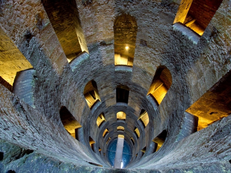 St. Patricks WellHoly well · 478 yd
 IndicatedHoly well · 627 yd
 Giant's GraveArchaeological place · 1603 yd
 Saint Patrick's Catholic Churchchurch/chapel · 1.4 mi
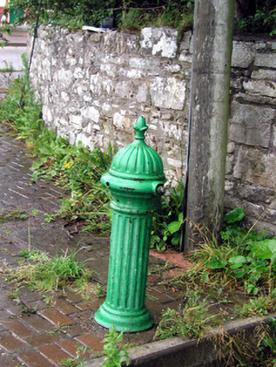 water pumpwater pump · 1.6 mi
 Bawn in DuncarbryBawn · 1.7 mi
 Bundrowes Castle (Site of)Castle, unclassified · 2.0 mi
 Creevykeel Court TombNeolithic court tomb · 3.2 mi
 assassination of Louis Mountbatten, 1st Earl Mountbatten of Burmaassassination · 3.2 mi
 Unbaptised Children MonumentMemorial · 3.5 mi
 Classiebawn WoodsWood · 3.7 mi
 Wild Atlantic Way: Mullaghmore HeadVisitor information · 3.8 mi