What is recorded here
In improved, low-lying pasture, cut by land drains and watercourses, 10m S of a trackway and 270m to E of a townland boundary with Ballyshoneen. Not depicted on OSi historic maps. Barrows (LI024-053003-/053001-) lie 30m to NE and 55m to NW, respectively. Monument identified as a roughly oval-shaped cropmark by the Bruff aerial photographic survey in 1986 (Bruff 269: AP 4/3677). Monument is not visible on OSi orthophoto 2005-2012 or on Google Earth orthoimage taken 18/11/2018.
See attached Google Earth orthoimage taken 18/11/2018 and Bruff aerial survey image labelled Bruff 269.
Compiled by: Alison McQueen and Vera Rahilly
Date of upload: 11 October 2020
The monument record does not grant public access. Check the route and ask the landowner before entering private land.
- What survives
- Recorded monument
Places near here
 Mound in KnockballyfookeenMound · 281 yd
 BarrowBarrow, ring-barrow · 470 yd
 Cross Tuck MillsWater mill, unclassified · 853 yd
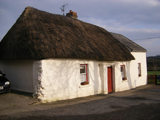 Highstreethouse · 1132 yd
 ToberagaddySpring · 1637 yd
 Kilduff CastleCastle · 1.0 mi
 Kilduff Castle (in ruins)Castle, tower house · 1.0 mi
 KnockseefinMountain / peak · 2.0 mi
 Oola HillMountain / peak · 3.2 mi
 St. Patrick's WellSpring · 3.9 mi
 Flat cemetery in Knockainy WestFlat cemetery · 8.0 mi
 RathbaunArchaeological place · 557 yd