What is recorded here
Knockawinna held a fulacht fia where hot stones cracked red earth before a leveler erased most of the shape in 1981. A low mound still shows through the field, marked by burnt black soil and shattered stone, while swamp breathes up from the west-south-west. People may have gathered there to cook, clean or mark the boundary between land and water, their names lost but their heat preserved in the damaged ground.
Levelled monument described in 1985 by the 'Castleisland District Archaeological Survey' as the 'site of a fulacht fiadh which was levelled in 1981. An area of swamp borders the monument on the west-south-west, while it is bordered by a dyke and field fence on the east. A low mound is still obvious with little or no growth on it. Burnt black soil and burnt shattered red stone is obvious in the mound. The mound measures 11m from north to south and 12.2m from east to west' (SMR file).
Compiled by: Caimin O'Brien
Date of upload: 27 April 2022
The monument record does not grant public access. Check the route and ask the landowner before entering private land.
- What survives
- Recorded monument
Places near here
 Three CountiesPicnic place · 1470 yd
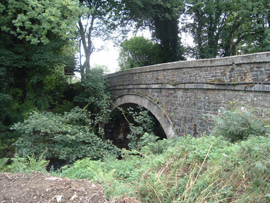 Breanagh Bridgebridge · 1518 yd
 KilnKiln, lime · 1.0 mi
 Enclosure in AcresEnclosure · 1.1 mi
 BarrowBarrow, bowl-barrow · 1.3 mi
 Rock HillMountain / peak · 5.2 mi
 KnockateeMountain / peak · 5.4 mi
 Kilmurry CastleCastle · 7.5 mi
 Ardnacreach CastleCastle · 7.6 mi
 TobereenalaffinaSpring · 8.2 mi
 Saint Ite's WellSpring · 9.3 mi
 Crag CaveCave · 9.5 mi