
What is recorded here
In pasture, on N-facing slope. Circular flat-topped mound (diam. c. 8m; H 0.9m from base of fosse) enclosed by fosse (Wth 4.2m; D 0.45m). External low rise (max. H 0.25m) evident NE->SE and SSW->SW. Top of mound (diam. 4m) defined by narrow earthen rim (H 0.3m). According to landowner, top of mound dug into by his great grandfather in an attempt to level it. During digging large stone slab with bones underneath recovered at depth of 3ft (Bowman 1934, 85). Locally known as 'fort', field called 'fort field'.
The above description is derived from the published 'Archaeological Inventory of County Cork. Volume 4: North Cork' (Dublin: Stationery Office, 2000). In certain instances the entries have been revised and updated in the light of recent research.
Date of upload/revision: 14 January 2009
Bowl barrow, likely dating to the Early Bronze Age (c. 2000–1500 BCE). These funerary monuments are significant as they represent early forms of burial practice and social organisation in prehistoric Ireland.
The monument record does not grant public access. Check the route and ask the landowner before entering private land.
- What survives
- Recorded monument
Places near here
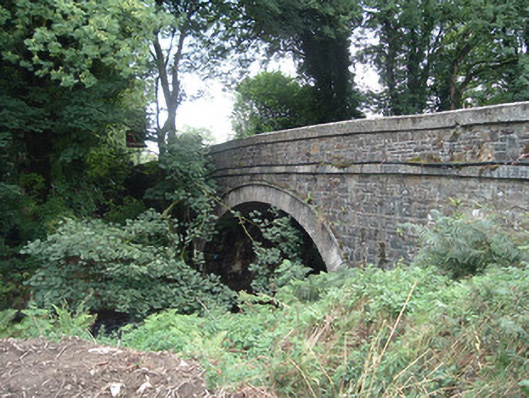 Breanagh Bridgebridge · 785 yd
 Three CountiesPicnic place · 1.0 mi
 KilnKiln, lime · 1.3 mi
 Enclosure in AcresEnclosure · 1.4 mi
 DallánBurial · 1.6 mi
 Rock HillMountain / peak · 4.1 mi
 TaurMountain / peak · 4.6 mi
 Glenquin CastleCastle · 7.8 mi
 TobereenalaffinaSpring · 8.2 mi
 Ardnacreach CastleCastle · 8.4 mi
 Saint Ite's WellSpring · 8.6 mi
 Barna BogForest · 11 mi
Other information
Photo: Credit not shown in the picture search · Rights wording not checked; contact us if this picture should be removed