What is recorded here
Five stones circle a shallow dug chamber on a north-facing terrace above the Kame River, their east-west axis stretching three metres while two stones lie prostrate and the northern entrance leans south. The completed ring, accompanied by another five-stone circle two hundred and fifty metres southwest, suggests deliberate repetition rather than scattered debris. People may have gathered there to mark seasons, solve disputes or simply enjoy the particular quality of river-valley light, turning stone into a room for ordinary life.
On terrace of N-facing slope on S side of Kame River valley. Circle complete; axial and two side stones prostrate. N entrance stone, leaning markedly to S, is 1.5m L, 0.6m T and 1.1m H. S entrance stone is 1m L, 0.5mT and 0.9m H. Interior of circle dug out (D 0.4m). Estimated measurement along main axis, aligned E-W, is c. 3m. Five-stone circle (6467) 250m to SW. (O Nualláin 1984a, 38, no. 71)
The above description is derived from the published 'Archaeological Inventory of County Cork. Volume 3: Mid Cork' (Dublin: Stationery Office, 1997). In certain instances the entries have been revised and updated in the light of recent research.
Date of upload/revision: 14 January 2009
Dolmen, Knockavullig is likely from the Neolithic period, dating to between 4000 and 2500 BCE. It may have functioned as a burial or ceremonial site, reflecting early communal rituals associated with ancestor veneration or land use.
The monument record does not grant public access. Check the route and ask the landowner before entering private land.
- What survives
- Recorded monument
Places near here
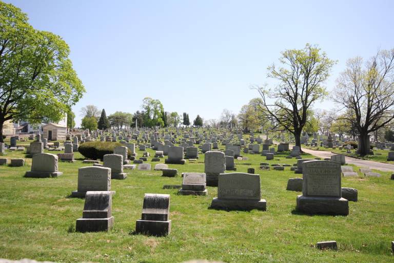 Burial ground in MahallaghBurial ground · 1186 yd
 CrossnalannivBurial ground · 1274 yd
 Upper Forrestcountry house · 1451 yd
 Larchill Housecountry house · 1.1 mi
 Black WoodWood · 1.2 mi
 Quarry WoodWood · 1.3 mi
 Sunday's WellSpring · 1.4 mi
 Carrigadrohid Castle (in Ruins)Castle, tower house · 1.5 mi
 Carrigadrohid CastleHeritage attraction · 1.5 mi
 Carrigadrohid Castle InfoVisitor information · 1.6 mi
 Castlemore CastleCastle · 2.4 mi
 Mullinhassig WaterfallWaterfall · 3.1 mi