What is recorded here
'Located in the same field as above [KE030-077----], but on the southernmost side nearest the small stream is a large meandering earthwork. Its total length is in excess of 90.0m. It is 15.0m in width on the western side, and an average of 1.00m in height. At first it runs in a northerly direction before curving back on itself towards the river. At the point nearest the river the width of the bank spreads to 20.0m and extends to 1.50m in height. The bank then continues in a northeasterly direction. This is unlikely to be the remains of a flood-relief embankment as the stream is a very insubstantial tributary of the River Lee and therefore would probably not have been exposed to such works as were carried out in the last century.'
Compiled by Michael Connolly for the Archaeological Survey of Ireland as part of a survey of the Lee Valley area in 1996-97.
Date of upload: 4 May 2012
The monument record does not grant public access. Check the route and ask the landowner before entering private land.
- What survives
- Recorded monument
Places near here
 Enclosure in BallymacthomasEnclosure · 323 yd
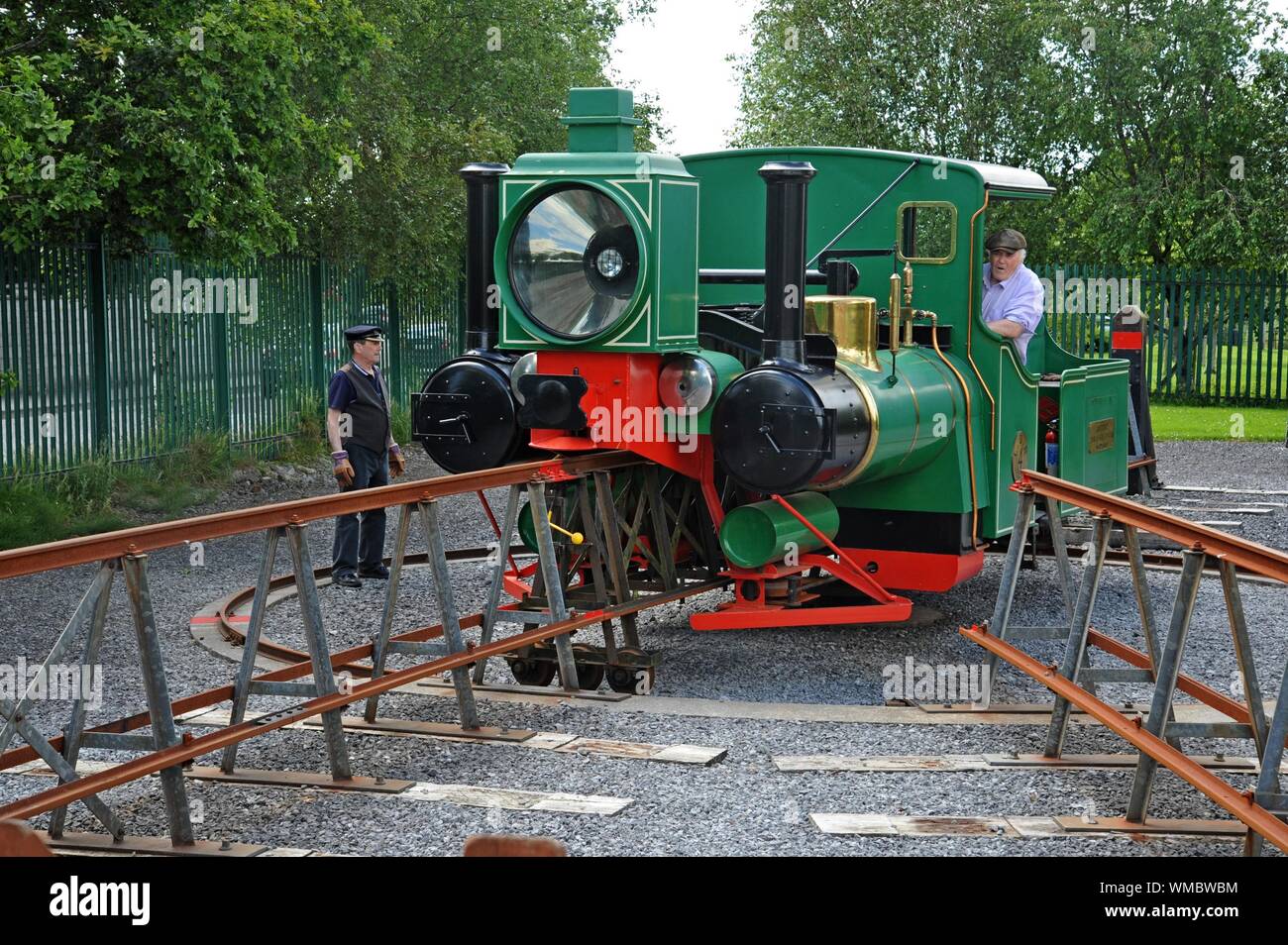 Field system in BallymacthomasField system · 580 yd
 Kilquane Church (in Ruins)Church · 842 yd
 IndicatedCastle, unclassified · 1265 yd
 PoulatouirtCave · 1464 yd
 Common AlderCommon Alder · 1716 yd
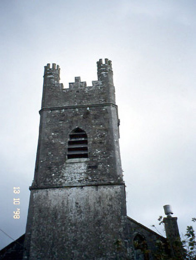 Ballymacelligott Churchchurch/chapel · 1756 yd
 Poulclashcannon (blocked)Cave · 1.0 mi
 Bealagrellagh CastleCastle · 1.1 mi
 Monument WoodWood · 1.4 mi
 Civil War MemorialMemorial · 3.2 mi
 CruslineMountain / peak · 3.7 mi