What is recorded here
Knockaunakill Castle stands as a ruined tower house on a limestone knoll in County Mayo, reduced to a fragment of east wall and a stony outline where a rectangular building once rose. The remaining masonry hints at a fifteenth-century origin, while a nearby terrace enclosed by wall footings suggests a defensive bawn surrounding the castle in its southeast corner. What is left exposes how quickly stone returns to grass, leaving only a displaced lump of wall and a faint base batter to mark the angle where people once lived, watched the land, and disappeared.
In pasture, prominently located on a limestone knoll in undulating grassland broken by rocky outcrops.
Named ‘Knockaunakill Castle’ on the 1838 and 1920 OS 6-inch maps; the 1838 edition shows a square building abutted at N and S by field boundaries; by the time of the 1920 edition only the N part of the castle is shown.
A fragment of the E wall (L 4m NNW–SSE; T 0.8m; int. H 2m; ext. H 3m) still stands. It is in poor condition, largely denuded of its stone facing but retains a hint of a base batter. At its N end there is a short return (L 3.3) to WSW. The upstanding remains appear to represent the NE angle of the rectangular building (c. 7-8m ENE–WSW; c. 5m NNW–SSE), the remainder of which is outlined by a stony scarp. A field wall on a roughly N–S axis crosses the centre of the structure.
A displaced lump of wall masonry has tumbled downslope c. 10m to SW. A fragment of punch-dressed stone, probably from a centred door arch, suggests that the castle was most likely a tower house of 15th-century date.
At NE 3-4m from the castle wall, the knoll slope (H 3-4m) falls steeply. On the W–NW side of the castle, a gentler slope drops to a level terrace from the W edge of which there is another steep fall of ground. The terrace is enclosed by wall footings, suggesting that it served as a bawn (MA091-0190011), with the castle located in the SE corner. A rath (MA091-018----) located c. 350m to NNW.
Compiled by: Jane O’Shaughnessy
Date of upload: 9 February 2022
The monument record does not grant public access. Check the route and ask the landowner before entering private land.
- What survives
- Recorded monument
Places near here
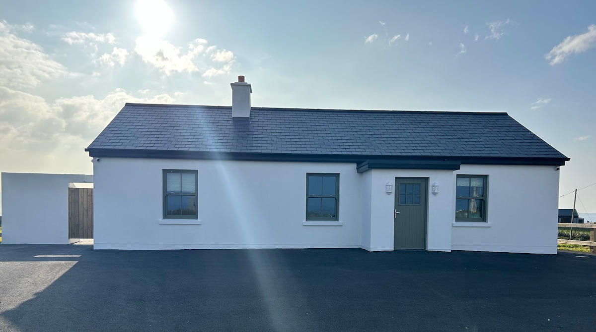 Bawn in KnockaunakillBawn · 16 yd
 IndicatedEnclosure · 682 yd
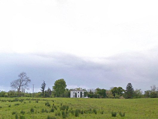 Cloonboy Housefarm house · 1175 yd
 Enclosure in BreesEnclosure · 1.2 mi
 CastleCastle, ringwork · 1.4 mi
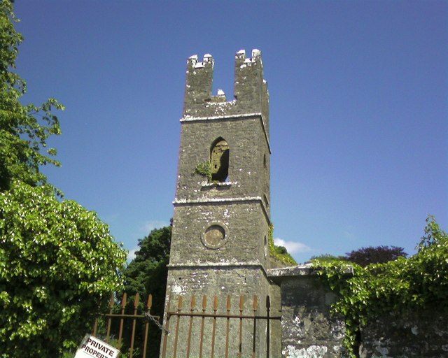 Mayo Church (Mayo)church/chapel · 1.7 mi
 Land of the GiantsHeritage attraction · 4.1 mi
 Geoffrey's WoodForest · 5.9 mi
 Oak WoodForest · 6.2 mi
 Cow IslandIslet · 8.9 mi
 Crane IslandIslet · 9.0 mi
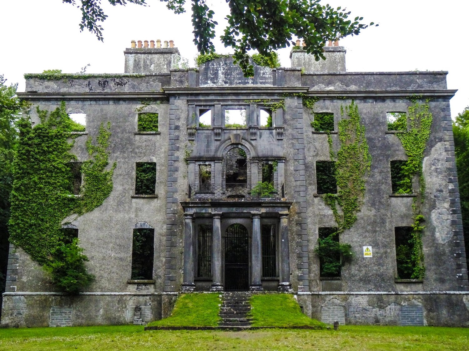 Enclosure in An Goirtín MórEnclosure · 1.6 mi