
What is recorded here
Indicated is a submerged crannog in Knockaturly Lough, County Monaghan, where charcoal, stones and animal bones still lie beneath the water. The lake has shrunk since 1834, pulling back from an island drawn on old maps to reveal a low circular cairn thirty-five metres from the shore. Piles gleam in the deep eastern water like the ribs of a drowned house, waiting for the lake to breathe out again.
Situated in Knockaturly Lough, an oval lake that is now (dims c. 420m WNW-ESE; c. 130m NNE-SSW) smaller than c. 1834 (dims c. 500m WNW-ESE; c. 180m NNE-SSW). The crannog is depicted on the 1834 and 1907 editions of the OS -6-inch map as a small island, and is c. 35m from the S shore towards the E end. This is a circular overgrown cairn (diam. 18m; H 0.7m of the water) with deep water on the E sides where some piles can be seen. The matrix consists of stones and charcoal with animal bones.
The above description is derived from the published 'Archaeological Inventory of County Monaghan' (Dublin: Stationery Office, 1986). In certain instances the entries have been revised and updated in the light of recent research.
Compiled by: Michael Moore
Date of revision: 22 February 2018
The monument record does not grant public access. Check the route and ask the landowner before entering private land.
- What survives
- Recorded monument
Places near here
 Tullygillen Millmill (water) · 1059 yd
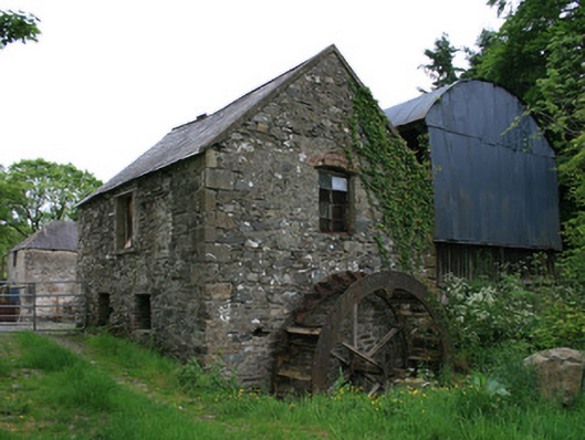 Tullyleer Housemill (water) · 1656 yd
 The McMahon StoneArchaeological place · 1.1 mi
 Lady Rossmore's Cottage (Ruin)Heritage attraction · 1.3 mi
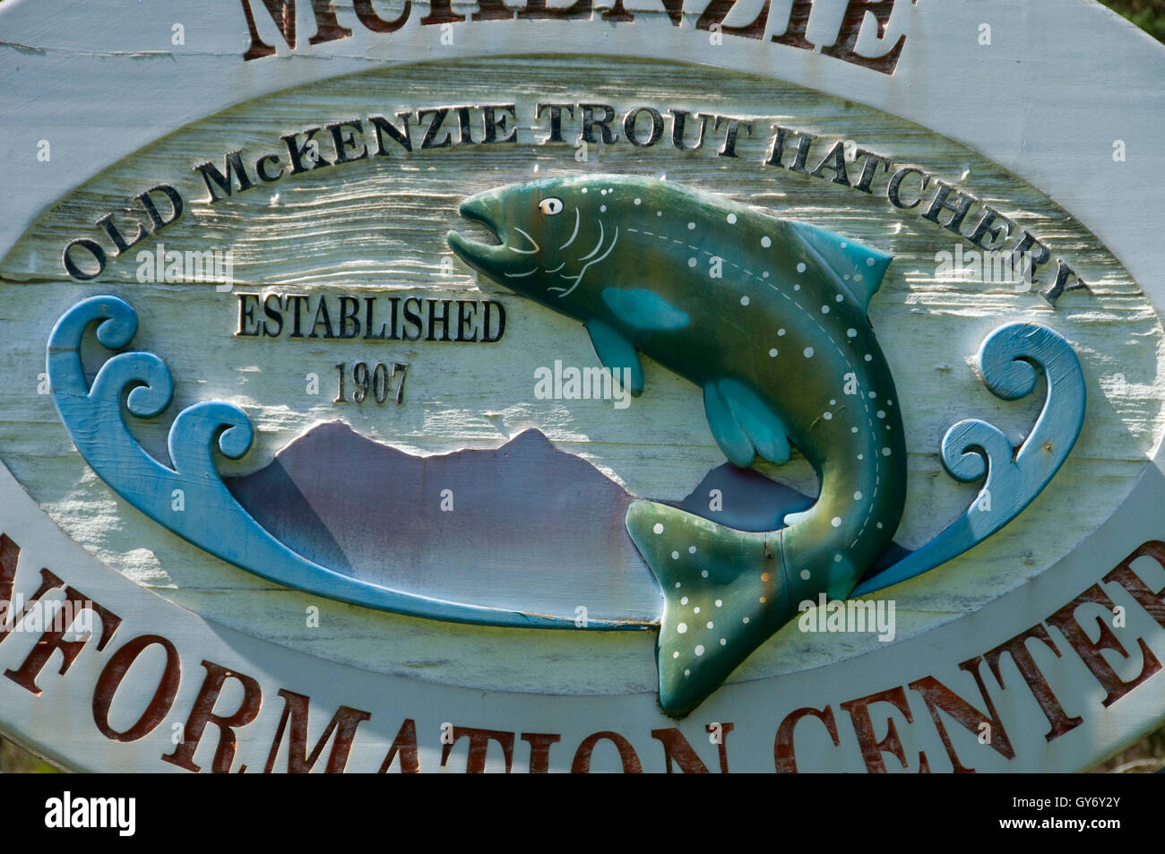 Old Fish HatcheryHeritage attraction · 1.3 mi
 Court tomb in KillydrutanCourt tomb · 1.8 mi
 Hazel WoodWood · 3.0 mi
 Bawn in Roosky (monaghan By., Monaghan Par.)Bawn · 3.1 mi
 Rossmore MonumentMemorial · 3.1 mi
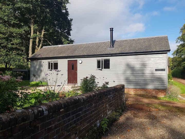 Gamekeeper's WoodForest · 3.4 mi
 Castleshane WaterfallWaterfall · 4.1 mi
 Rough HillMountain / peak · 4.5 mi
Other information
Photo: Credit not shown in the picture search · Rights wording not checked; contact us if this picture should be removed