What is recorded here
Indicated is a fairy fort or earthen ringfort in Knockanyconor, County Roscommon, Ireland. It occupies the NE-facing crest of a low NW-SE ridge as a raised D-shaped grass-covered platform measuring 41m NNW-SSE and c. 35m E-W. A faint lip of a bank defines the perimeter through a scarp reaching 1.8m at ESE before merging into the slope SSE-W-NNW.
On the NE-facing crest of a low NW-SE ridge. Raised D-shaped grass-covered platform (dims 41m NNW-SSE; c. 35m E-W) with the straight side at W where a N-S field bank has been removed. There is a faint lip of a bank around the perimeter defined by a scarp (H 1.8m at ESE) NNW-E-SSE which merges into the slope SSE-W-NNW.
Compiled by: Michael Moore
Date of upload: 24 August 2010
This remains an important historical record, but the official description says the monument is no longer visible or has been destroyed. The monument record does not grant public access. Check the route and ask the landowner before entering private land.
- What survives
- No visible remains or recorded as destroyed
Places near here
 Fairy fort / stone ringfort in Carrownamaddy (athlone South By.),knockanyconorFairy fort / stone ringfort · 621 yd
 IndicatedFairy fort / earthen ringfort · 697 yd
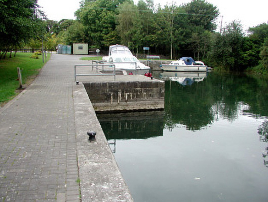 harbour/dock/portharbour/dock/port · 983 yd
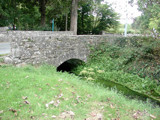 Historic buildingOfficially recorded historic building · 1085 yd
 Blackbrink BayBay · 1.2 mi
 St. John's WoodWood · 1.6 mi
 Carrownure BayBay · 1.8 mi
 Rindown CastleCastle, Anglo-Norman masonry castle · 2.0 mi
 RindoonWood · 2.1 mi
 Dogs IslandIslet · 2.6 mi
 Galey CastleCastle, tower house · 2.7 mi
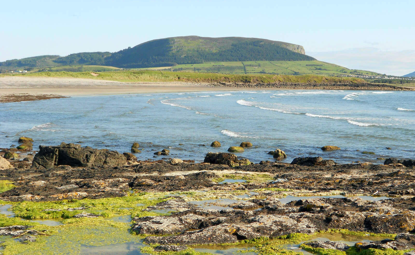 Brearoge IslandsIslet · 2.9 mi