What is recorded here
Knockantota North holds a circular earthen ringfort thirty-two metres wide on an east-facing slope, marked by a tall bank and outside ditch. A field boundary still cuts across the interior, suggesting the fort never fully stopped belonging to the living landscape. Local tradition calls it a fairy fort, which may mean people stopped entering because they believed the fairies still lived there.
In pasture, on E-facing slope. Circular area (32m N-S; 33.2m E-W) defined by earthen bank (max. int. H 2.4m) SE->NNW, with external fosse; low scarp elsewhere. Possible second earthen bank SE->NNW incorporated into field fence system; heavily overgrown. Field boundary crosses interior NNW-SE. Possible Man-made underground passage (CO051-167----) in E half of enclosure.
The above description is derived from the published 'Archaeological Inventory of County Cork. Volume 3: Mid Cork' (Dublin: Stationery Office, 1997). In certain instances the entries have been revised and updated in the light of recent research.
Date of upload/revision: 14 January 2009
The monument record does not grant public access. Check the route and ask the landowner before entering private land.
- What survives
- Recorded monument
Places near here
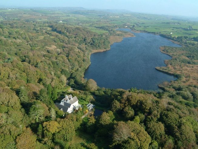 LissardFairy fort / earthen ringfort · 671 yd
 Castle (Site of)Castle, Anglo-Norman masonry castle · 761 yd
 Rock HillMountain / peak · 896 yd
 Mound in Lissard (barretts By.)Mound · 1580 yd
 Lyradane MountainMountain / peak · 1.4 mi
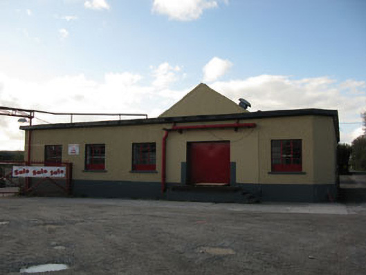 Rathduff Creamerycreamery · 1.8 mi
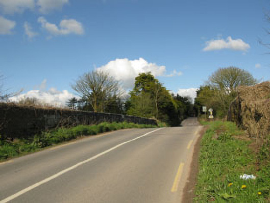 bridgebridge · 1.9 mi
 St John's WellSpring · 2.7 mi
 Castle BarrettCastle · 3.4 mi
 Graveyard in KilmonaGraveyard · 3.7 mi
 Pairc Ath Na hEornaMemorial · 3.7 mi
 New TipperaryVisitor information · 5.7 mi