What is recorded here
Situated at the bottom of a SW-facing slope of the Comeragh Mountains and at the inner edge of a spur that extends off to the SW. A stone alignment oriented N-S (L 6.8m) is composed of two conglomerate stones and the stump of a third. The S stone is rectangular and crested (dims. 0.7m x 0.5m; H 1.72m), the central stone is subrectangular and pointed (dims. 0.6m x 0.5m; H 1.78m), and the N stone is a rectangular stump (dims. 0.4m x 0.2m; H 0.4m). The distances between the stones from the S are 1.3m and 3.75m.
The above description is derived from the published 'Archaeological Inventory of County Waterford' (Dublin: Stationery Office, 1999). In certain instances the entries have been revised and updated in the light of recent research.
Compiled by: Michael Moore
Date of upload/revision: 27 October 2010
Likely dating to the Neolithic or early Bronze Age, the stone row in Knockanaffrin may have had ceremonial or ritual significance, possibly aligned with astronomical or seasonal markers. Such alignments are often associated with funerary practices or territorial boundaries in prehistoric landscapes.
The monument record does not grant public access. Check the route and ask the landowner before entering private land.
- What survives
- Recorded monument
Places near here
 Enclosure in KnockanaffrinEnclosure · 738 yd
 Field system in KnockanaffrinField system · 772 yd
 Nell's Cottagefarm house · 1743 yd
 CillChurch · 1.1 mi
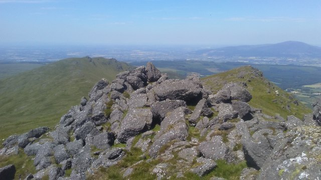 KnockanaffrinMountain / peak · 1.2 mi
 Knockanaffrin South TopMountain / peak · 1.3 mi
 The Gap WalkWalking route · 1.3 mi
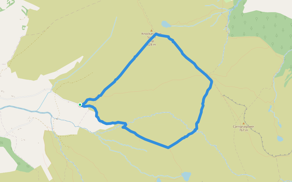 Coumduala LoopWalking route · 1.4 mi
 Knocknaree WoodForest · 1.7 mi
 Curraheen TrailsVisitor information · 2.3 mi
 Turraphuca WoodForest · 2.5 mi
 The Prison WaterfallWaterfall · 3.6 mi