What is recorded here
A circular enclosure visible as a crop mark on an aerial photograph (SMR file; pers. comm. T. Condit). This site was subject to geophysical survey (Licence no. 14R0031) and test excavation (Licence no. 14E0165). The enclosure ditch has a maximum width of 3.65m and depth of 1.3m. Within the enclosure are spreads, linear features, pits and postholes. A spread of burnt st one and a possible pit were identified outside the enclosure. The site will be preserved in situ with a 20m buffer zone. Excavation of features outside the buffer zone (Nelis 2014).
Compiled by: David O’Connor
Updated by: Christine Baker
Date of upload: 18 January 2015
The monument record does not grant public access. Check the route and ask the landowner before entering private land.
- What survives
- Recorded monument
Places near here
 Enclosure in Broomfield (coolock By.)Enclosure · 164 yd
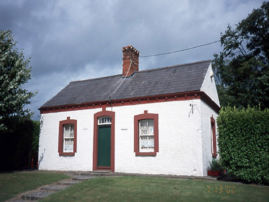 Malahide Castlegate lodge · 629 yd
 Field system in KinsaleyField system · 987 yd
 Malahide DemesneVisitor information · 1087 yd
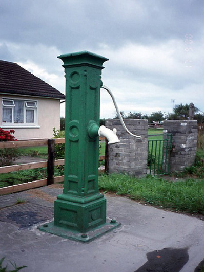 water pumpwater pump · 1091 yd
 Malahide Castle Demesne Church (Ruin)Ruins · 1181 yd
 MoatCastle, motte and bailey · 1186 yd
 Black WoodWood · 1456 yd
 Casino Model Railway MuseumMuseum · 1.1 mi
 Welcome To MalahideVisitor information · 1.2 mi
 Malahide BeachBeach / strand · 1.4 mi
 Strand Mill RuinsRuins · 1.5 mi