What is recorded here
The crannog in Kinkillew is in County Sligo, Ireland. It stands as an oval platform mound in the wet meadow at the north west end of Cloonskirt Lough, measuring 8 metres east to west and 4 metres north to south. The surface is even with diffuse edges, a small concentration of stones marks the west edge, and a mature tree grows on the east portion of the mound.
In a wet meadow, in the NW end of the drained lake named 'Cloonskirt Lough' on the 1838 OS 6-inch map. The lake is surrounded by drumlins and views are restricted. An oval platform mound (4m N-S; 8m E-W; H 0.35m), the surface of which is quite even, which has a small concentration of stones evident at its W edge. The edges of the crannog are diffuse. A mature tree grows on the E portion of the mound. The crannog is indicated as an islet on the 1838 OS 6-inch map.
The above description is derived from the published 'Archaeological Inventory of County Sligo' compiled by Ursula Egan, Elizabeth Byrne, Mary Sleeman with Sheila Ronan and Connie Murphy (Dublin Stationery Office, 2005).
Date of upload: 18 January 2008
The monument record does not grant public access. Check the route and ask the landowner before entering private land.
- What survives
- Recorded monument
Places near here
 Coola Castle (in Ruins)Bawn · 1320 yd
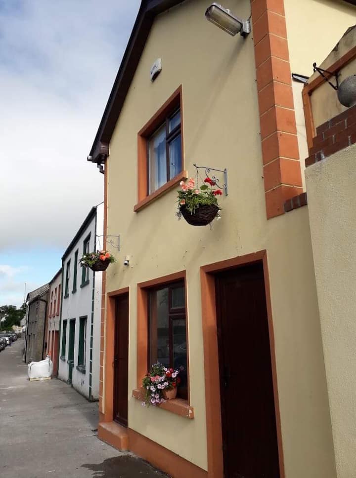 LisaneenyFairy fort / earthen ringfort · 1443 yd
 CaveMan-made underground passage · 1507 yd
 Ballynakill Church (in Ruins)Church · 1.2 mi
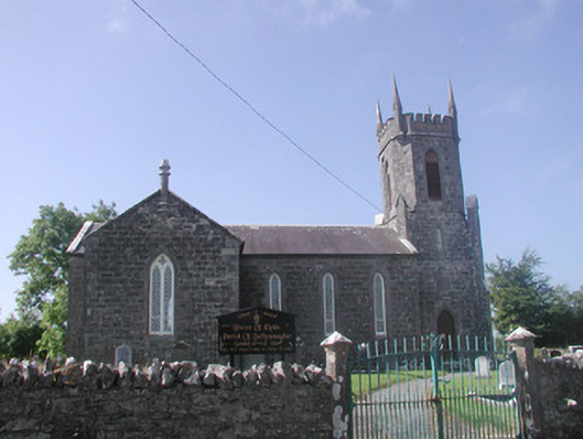 Ballysumaghan Churchchurch/chapel · 1.4 mi
 Castle Douglas (Site of)Castle, unclassified · 1.4 mi
 Riverstown Folk ParkHeritage attraction · 2.0 mi
 Giants GraveArchaeological place · 2.7 mi
 James MorrisonMemorial · 2.8 mi
 Field MapleField Maple · 3.1 mi
 European ashEuropean ash · 3.8 mi
 Battle of Collooneybattle · 4.9 mi