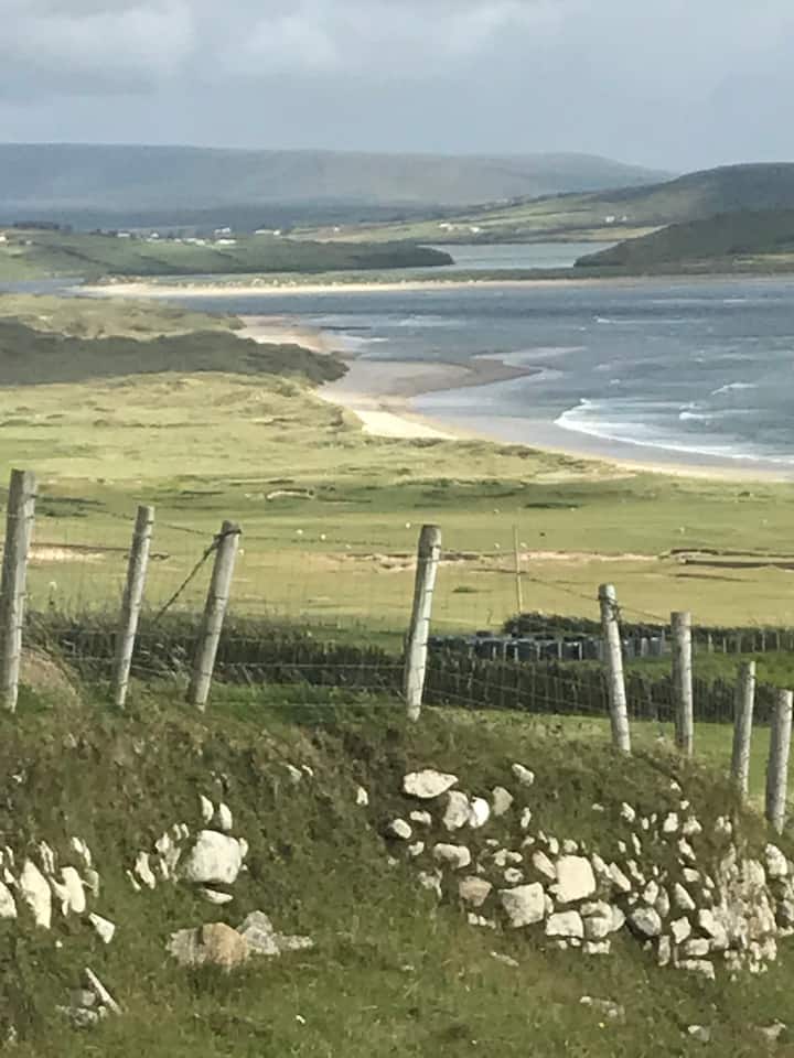
What is recorded here
Indicated is a hidden fairy fort in County Mayo, an oval earthen ring barely half a metre high that swallows light beneath its trees. Cows still walk the pasture above it, unaware that they graze the roof of a chamber built for beings who do not breathe. The southwest gap remains open, not as a failure of the bank but as an invitation for shadow to enter and reshape the room.
In pasture, on E slope of low ridge. Oval-shaped area (48m N-S; 39m E-W), enclosed by earthen bank (H 0.6m); tree covered, overlain with stone from levelled field fences. Gap in SW.
The above description has been derived from D. Lavelle (compiler), An Archaeological Survey of Ballinrobe and District including Lough Mask and Lough Carra. Lough Mask and Lough Carra Tourist Development Association (1994), No. 177.
Date of upload: 28 October 2013
The monument record does not grant public access. Check the route and ask the landowner before entering private land.
- What survives
- Recorded monument
Places near here
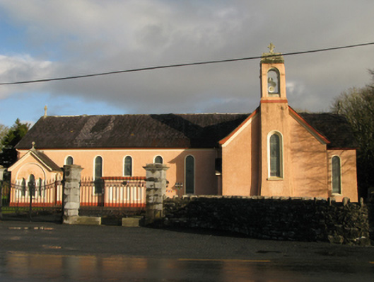 Catholic Church of Our Lady of Sorrowschurch/chapel · 1167 yd
 Castle (in Ruins)Castle, unclassified · 1625 yd
 Enclosure in BloomfieldEnclosure · 1.1 mi
 Chapel (in Ruins)Church · 1.3 mi
 CastleCastle, unclassified · 1.6 mi
 Enclosure in BellanaloobEnclosure · 1.9 mi
 Pleasure IslandIslet · 2.6 mi
 SycamoreSycamore · 2.6 mi
 Creevagh IslandIslet · 2.6 mi
 Kiltoom PointHeadland · 3.1 mi
 Moore Hall Forest TrailWalking route · 3.3 mi
 Moore Hall ForestForest · 3.3 mi
Other information
Photo: Credit not shown in the picture search · Rights wording not checked; contact us if this picture should be removed