
What is recorded here
In graveyard (MA110-048002-), ruins of rectangular church (8.7m N-S; 18.1m E-W). Remains have recently undergone extensive restoration. 12th century antae at E end. Late flat headed doorway (Wth 1.1m) with interior bar slots, on S wall; replaced W doorway of which only threshold stone survives (NMI). Six gravestones in gravel lined interior.
The above description has been derived from D. Lavelle (compiler), An Archaeological Survey of Ballinrobe and District including Lough Mask and Lough Carra. Lough Mask and Lough Carra Tourist Development Association (1994), No. 628.
Date of upload: 30 October 2013
The monument record does not grant public access. Check the route and ask the landowner before entering private land.
- What survives
- Recorded monument
Places near here
 Castle (in Ruins)Castle, tower house · 431 yd
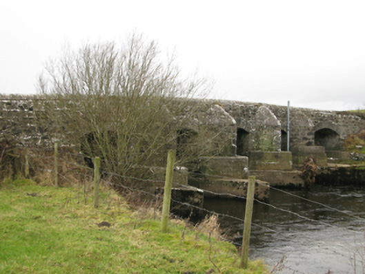 Robeen Bridgebridge · 764 yd
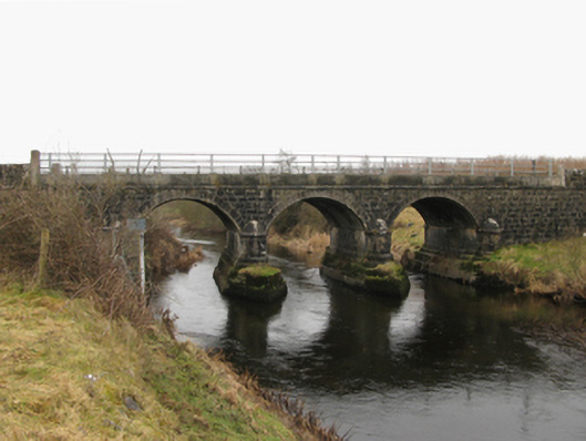 Foxhall Bridge or Foxhill Bridgebridge · 1276 yd
 Enclosure in BloomfieldEnclosure · 1278 yd
 IndicatedFairy fort / earthen ringfort · 1.1 mi
 CastleCastle, unclassified · 1.2 mi
 SycamoreSycamore · 1.4 mi
 Bush IslandIslet · 2.9 mi
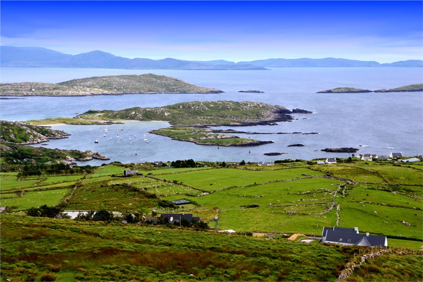 illanatrim islandIslet · 2.9 mi
 Kiltoom PointHeadland · 3.9 mi
 Moore Hall ForestForest · 4.1 mi
 Moore Hall Forest TrailWalking route · 4.2 mi
Other information
Photo: Credit not shown in the picture search · Rights wording not checked; contact us if this picture should be removed