What is recorded here
Fairy forts are misnamed: human raths where people lived, worked and were buried. Kiltycarney holds one such ring on a northwest slope, its shallow bank and faint ditch still tracing a small enclosed life beside two other raths. Susan Curran drew it from shadow data while studying for a master's degree, proving that ordinary fields can hide whole neighbourhoods when measured correctly.
Located towards the top of a NW-facing slope in improved pasture. It was first identified by Susan Curran as part of an M.A. thesis with University College Dublin using a LiDAR survey dataset commissioned by Leitrim County Council and the National Roads Authority. This is a subcircular grass-covered area (dims 22m E-W; 20m N-S) defined by the slight remains of an earthen bank (at NE: Wth of base 6m; Wth of top 2.1m; int. H 0.35m; ext. H 0.15m) NW-E-SW which merges into a N-S field bank at W. A fosse (at NE: Wth of top 5.9m; Wth of base 1.9m; D 0.2m) is traceable NW-N-SE (upslope). A limestone rock (L 0.7m NE-SW; Wth 0.45m NW-SE; H 0.35m) is earthfast, off-centre to the E, but an original entrance cannot be identified. Rath (LE031-110----) is c. 35m to the E, and rath (LE031-053----) is c. 65m to the N.
Compiled by: Michael Moore
Date of upload: 11 May, 2015
The monument record does not grant public access. Check the route and ask the landowner before entering private land.
- What survives
- Recorded monument
Places near here
 IndicatedEnclosure · 288 yd
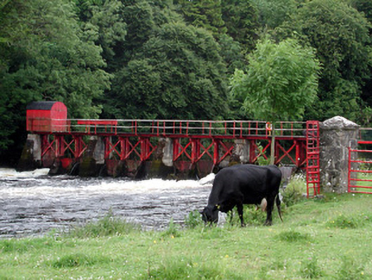 sluice/sluice gatesluice/sluice gate · 1226 yd
 Enclosure in GarvloughEnclosure · 1236 yd
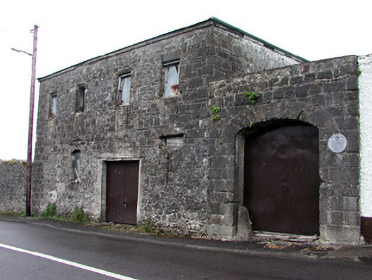 store/warehousestore/warehouse · 1308 yd
 Patrick Gill Memorial Plaque (IRA)Monument · 1.5 mi
 Robert Strawbridge MemorialMemorial · 1.5 mi
 CastlecarraCastle, unclassified · 1.6 mi
 Wildlife AreaNature reserve · 1.7 mi
 Moon RiverHeritage attraction · 2.2 mi
 Site of Dangan CastleCastle, unclassified · 3.1 mi
 Leabaidh DermotCave · 4.2 mi
 Mullinashee WoodForest · 4.7 mi