What is recorded here
Embanked enclosure is a fairy fort or earthen ringfort in Kiltultoge, County Roscommon, Ireland. It occupies a subcircular grass-covered area on the north-west-facing crest of a slope, measuring 46.5 metres across and 40.8 metres from north to south. A rounded fosse runs along the north-west, east and south-east sides, while a scarp defines the remaining perimeter. Slight traces of an inner bank appear on the east and south-east, but no original entrance remains identifiable.
On the NW-facing crest of a slope. Subcircular grass-covered area (dims 46.5m; 40.8m N-S) defined by a rounded fosse (Wth of top 6.7-8.4m; Wth of base 4.3-4.8m; int. D 0.6-1m; ext. D 0.25-0.5m) NW-E-SE with slight traces of an inner bank (int. H 0.2m) E-SE, and by a scarp (H 0.6m) elsewhere. The perimeter has been cut back NW-NNE and S-WSW, and a pond has been excavated into the scarp and fosse SE-SSE. There is no identifiable original entrance.
Compiled by: Michael Moore
Date of upload: 24 August 2010
The monument record does not grant public access. Check the route and ask the landowner before entering private land.
- What survives
- Recorded monument
Places near here
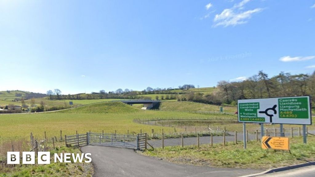 Embanked enclosureFairy fort / earthen ringfort · 562 yd
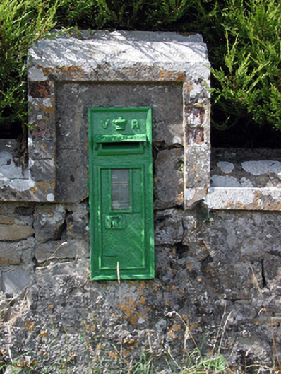 post boxpost box · 1277 yd
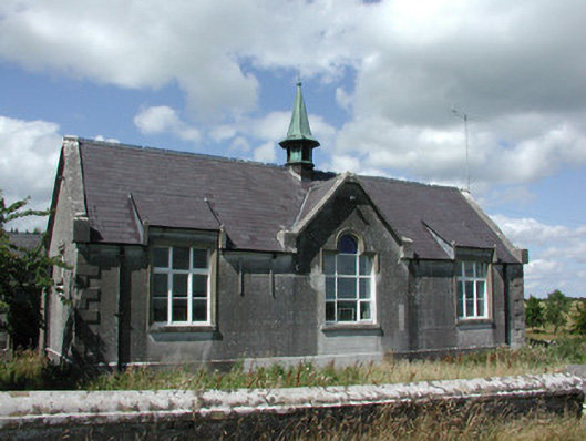 The Old Schoolhouseschool · 1280 yd
 Man-made underground passage in Ballymacurly SouthMan-made underground passage · 1409 yd
 HawthornHawthorn · 3.7 mi
 Leitrim CastleCastle, unclassified · 4.2 mi
 ToberagullaSpring · 5.0 mi
 European ashEuropean ash · 5.0 mi
 CastlerubyCastle, unclassified · 5.0 mi
 Roscommon CastleCastle · 5.8 mi
 Site of Killomaine Grave YardArchaeological place · 8.1 mi
 Sally IslandIslet · 9.6 mi