
What is recorded here
Indicated was a forty-metre fairy fort on the western edge of Kiltimagh, wearing an earthen bank like a collar before humans erased it. Houses now sit upon its bones, turning ancient boundary into private garden. What belonged to the unseen or the excluded has become someone else’s backyard, stripped of shape but perhaps not forgotten.
Located on elevated ground, on the W edge of Kiltimagh town.
This rath was extant when inspected in 1984. At that time, it was evident as a slightly raised area (diam. c. 40m) enclosed by an earthen bank at S–NW, truncated at N−NE by a road (SMR file). The rath was subsequently levelled and its outline is no longer discernible. A modern house and garden overlie the E–SE half of the rath and another house overlies the NW edge. The middle section of the rath is subsumed into a pasture field.
Compiled by: Jane O’Shaughnessy
Date of upload: 2 December 2021
The monument record does not grant public access. Check the route and ask the landowner before entering private land.
- What survives
- Recorded monument
Places near here
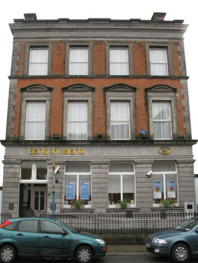 Bank of Irelandbank/financial institution · 153 yd
 I'll Send You The FareMemorial · 173 yd
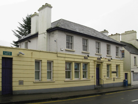 Allied Irish Bankbank/financial institution · 191 yd
 Kiltimagh MuseumMuseum · 577 yd
 CrossCross · 1186 yd
 LismeelEnclosure · 2.0 mi
 Carrowbeg WoodWood · 2.1 mi
 CashlankeeghCastle, unclassified · 2.2 mi
 Thorn CaveCave · 3.3 mi
 Castle in ruinsCastle, tower house · 5.1 mi
 Knock ShrineHeritage attraction · 5.3 mi
 East Mayo Brigade MonumentMemorial · 6.0 mi
Other information
Photo: Credit not shown in the picture search · Rights wording not checked; contact us if this picture should be removed