What is recorded here
Raheen is a fairy fort or earthen ringfort in Kilroe, County Tipperary, Ireland. It occupies a roughly circular area 36.5 metres north-south and 40 metres east-west, marked by an internal scarp 0.85 metres high, a steep-sided ditch 2.5 metres wide and 2.03 metres deep, and an outer bank widened by a field boundary. A 3.9-metre causeway crosses the ditch in the southwest quadrant, while an 8.3-metre gap in the east quadrant gives access to the interior.
Just off the summit of a hill on an E-facing slope, the area surrounding the ringfort is under tillage. Roughly circular area (diam. 36.5m N-S; 40m E-W) defined by scarp (H 0.85m); a deep, steep-sided fosse (Wth 2.5m; D 2.03m) and a counterscarp or outer bank which has been augmented by an earthen field boundary. There is a causeway (Wth 3.9m) across the fosse in the SW quadrant with a corresponding gap in the field bank. In the E quadrant there is a large gap (Wth 8.3m) which provides access to the interior.
Compiled by: Jean Farrelly
Date of upload: 19 November 2013
The monument record does not grant public access. Check the route and ask the landowner before entering private land.
- What survives
- Recorded monument
Places near here
 RaheenArchaeological place · 2 yd
 Enclosure in KilroeEnclosure · 517 yd
 Ballysheehan Househouse · 1.0 mi
 Knockane Castle ruinsCastle · 1.2 mi
 Garrymore Bridgebridge · 1.2 mi
 IndicatedBawn · 1.5 mi
 Sweet ChestnutSweet Chestnut · 1.8 mi
 Rehill WoodForest · 1.9 mi
 Mitchelstown CaveCave · 4.2 mi
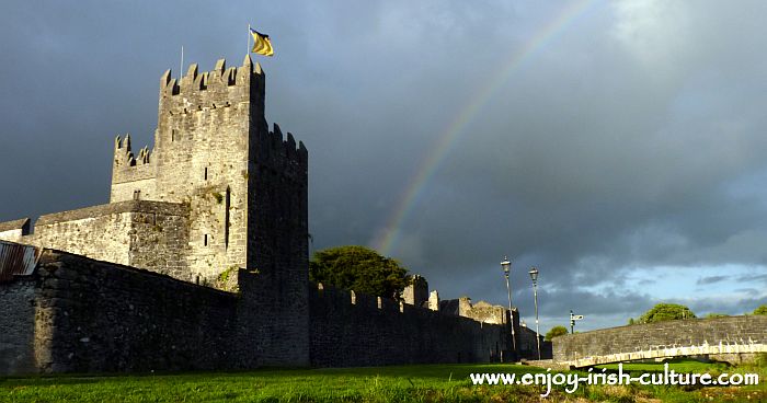 MonaminaneMountain / peak · 4.3 mi
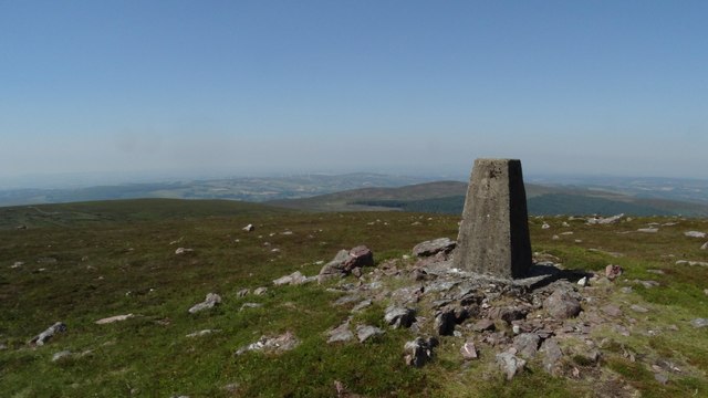 KnockshanahullionMountain / peak · 4.3 mi
 The VeeViewpoint · 4.5 mi